Seaport · Vietnam
Qui NhonVNUIH
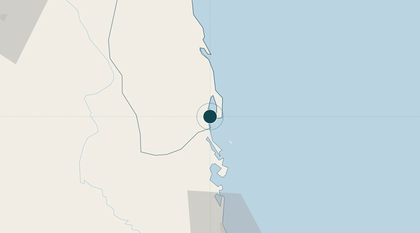
13.7667°, 109.2333°
11.0 m
Channel depth
1
Container terminals
56.5
Port liner connectivity
Channel & Berth Profile
Pilotage, Tugs & Services
Pilotage compulsoryYES
Pilotage availableYES
Pilotage advisableYES
Tug assistanceYES
Shore powerYES
Potable waterYES
Diesel bunkersYES
MedicalYES
Facilities & Capabilities
Container—
Ro-Ro—
Liquid bulk—
Dry bulk—
Oil terminal—
Break bulk—
Dry dockNO
RepairsNO
BunkeringYES
Rail linkYES
Dangerous cargo—
ISPS security—
Harbour Specifications
Harbour size
Very Small
Harbour type
Coastal (Natural)
Shelter
Fair
Water body
South China Sea; North Pacific Ocean
Tidal range
2 m
Overhead limit
No
Pilotage
Yes
Liner Connectivity
56.5
PLSCI
Port Liner Shipping Connectivity Index for Qui Nhon, as published by UNCTAD for the latest available quarter. Higher values indicate stronger scheduled liner-shipping integration.
Shown relative to the highest per-port PLSCI in the dataset (1,657.9).
Location
Container Terminals · 1
QUI NHON TERMINAL
QNT QUI NHON PORT JOINT STOCK COMPANY
Nearby Logistics Neighbours
Ports
- 1Nha Trang169 km
- 2Vinh Cam Ranh210 km
- 3Da Nang282 km
- 4Thanh Hoa424 km
- 5Phu My427 km
Cities
- 1Tan Cang - Mien Trung Terminal0 km
- 2Thi Nai Port2 km
- 3Tan Cang Qui Nhon65 km
- 4Bong Son78 km
- 5Vung Ro104 km
Airports
- 1Phu Cat Airport29 km
- 2Dong Tac Airport81 km
- 3Pleiku Airport134 km
- 4Buon Ma Thuot Airport172 km
- 5Chu Lai Airport191 km
Trade Zones
DatabookThe Record of Consolidated Knowledge
Vietnam beyond logistics?