Medium airport · Vietnam
Buon Ma Thuot AirportVVBM
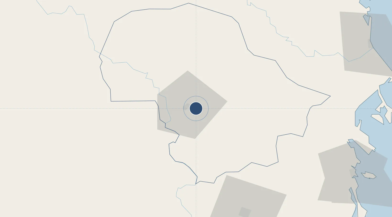
12.6683°, 108.1200°
9,843 ft
Longest runway
1
Runways
1,729 ft
Elevation
Runway & Layout

Radio Frequencies
TWR
118.3 MHz
Navaids
BMT VOR-DME Buon Ma Thuot 112.10 MHz
BU NDB Buon Ma Thuot 386 kHz
Runways · 1
| Runway | Dimensions | Surface | True heading | Lit |
|---|---|---|---|---|
| 09/27 | 9,843 × 148ft | Asphalt | 091° | — |
Airport Specifications
IATA code
BMV
ICAO code
VVBM
Airport class
Medium airport
Scheduled service
Yes
Runway surface
Asphalt
Served city
Buon Ma Thuot
Location
Nearby Logistics Neighbours
Airports
- 1Lien Khuong Airport106 km
- 2Dong Tac Airport138 km
- 3Cam Ranh International Airport / Cam Ranh Air Base141 km
- 4Pleiku Airport149 km
- 5Ratanakiri Airport170 km
Cities
- 1Buon Ma Thuot8 km
- 2Ninh Hòa112 km
- 3Trung Hoa112 km
- 4Dam Mon139 km
- 5Cam Lâm141 km
Ports
- 1Nha Trang130 km
- 2Vinh Cam Ranh143 km
- 3Qui Nhon172 km
- 4Thanh Hoa253 km
- 5Cat Lai258 km
Trade Zones
- 1Tam Thang Industrial Zone23 km
- 2Phu Hoi Industrial Zone112 km
- 3Bắc Vân Phong Special Economic Zone112 km
- 4Suoi Dau Industrial Zone118 km
- 5Ninh Thuy Industrial Zone122 km
DatabookThe Record of Consolidated Knowledge
Vietnam beyond logistics?