Industrial Zone · Vietnam

Suoi Dau Industrial Zone Active
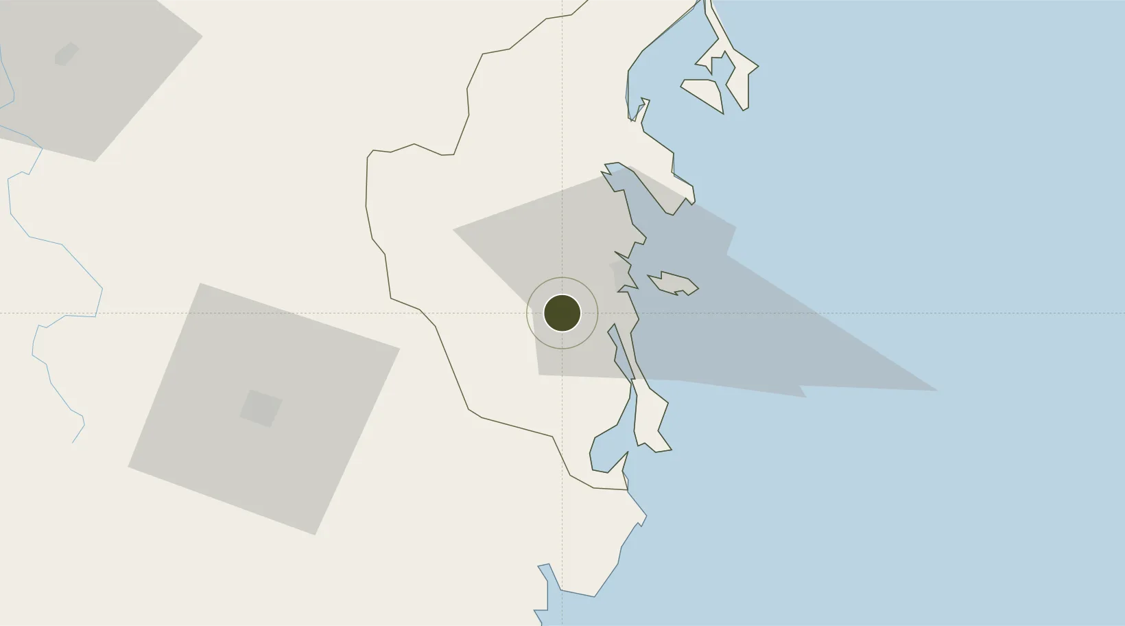
12.1508°, 109.0701°
152 ha
Zone area
20.9 km
Nearest port
23.5 km
Nearest airport

Gateway access

Nearest neighbours — logibook spatial index (haversine) over the source coordinates

Zone profile

Zone type
Industrial Zone
the World Bank SEZ database
Region
Khánh Hòa
the World Bank SEZ database
Status
Active
the World Bank SEZ database
Established
1997
the World Bank SEZ database
Management
PPP
the World Bank SEZ database
Operator
Khanh Hoa Trading and Investment Company and Government of Khanh Hoa Province
the World Bank SEZ database
Regulatory authority
Chairmen of Provincial People's Committees
the World Bank SEZ database
Legal framework
Law on Foreign Investment in Vietnam, 1996; Decree No. 36/1997/CP on The Regulation of Industrial, Economic and Export processing zones
the World Bank SEZ database

Location

Location of VNM231
Natural Earth 10m (public domain) · Khánh Hòa · VNM231 · 12.15, 109.07GoogleOSMYandex

Fiscal & incentives

Corporate tax
20%
the World Bank SEZ database
Tax relief
100% exempt
the World Bank SEZ database
Relief duration
4 years
the World Bank SEZ database
VAT
No exemption
the World Bank SEZ database
Import duty (inputs)
0% exempt
the World Bank SEZ database
Import duty (capex)
100% exempt
the World Bank SEZ database
Profit repatriation
No exemption
the World Bank SEZ database
Capital gains
No exemption
the World Bank SEZ database
Withholding tax
No exemption
the World Bank SEZ database
Min. investment
None
the World Bank SEZ database
Min. export
0%
the World Bank SEZ database
Employment incentive
No exemption
the World Bank SEZ database
Developer incentive
No established framework
the World Bank SEZ database

Nearby Logistics Neighbours

Ports
  1. 1Nha Trang21 km
  2. 2Vinh Cam Ranh32 km
  3. 3Qui Nhon181 km
  4. 4Phu My282 km
  5. 5Thanh Hoa292 km
Nearest neighbours — logibook spatial index (haversine) over the source coordinates
Airports
  1. 1Cam Ranh International Airport / Cam Ranh Air Base24 km
  2. 2Lien Khuong Airport89 km
  3. 3Dong Tac Airport104 km
  4. 4Buon Ma Thuot Airport118 km
  5. 5Phu Cat Airport201 km
Nearest neighbours — logibook spatial index (haversine) over the source coordinates
Cities
  1. 1Cam Lâm29 km
  2. 2Ba Ngoi29 km
  3. 3Hiep Thanh36 km
  4. 4Ninh Hòa38 km
  5. 5Trung Hoa53 km
Nearest neighbours — logibook spatial index (haversine) over the source coordinates
Trade Zones
  1. 1Bắc Vân Phong Special Economic Zone39 km
  2. 2Ninh Thuy Industrial Zone44 km
  3. 3Du Long Industrial Zone54 km
  4. 4Thanh Ha Industrial Zone59 km
  5. 5Van Phong Economic Zone59 km
Nearest neighbours — logibook spatial index (haversine) over the source coordinates
DatabookThe Record of Consolidated Knowledge
Vietnam beyond logistics?
Browse databook

All Sources

Trade Zonesthe World Bank SEZ database
CC BY 4.0
Portsthe NGA World Port Index
Public domain (US gov)
AirportsOurAirports
Public domain
LocationsUN/LOCODE
UN/LOCODE — free
← Vietnam trade zones