Diversified Zone · Vietnam

Bắc Vân Phong Special Economic Zone Under Development
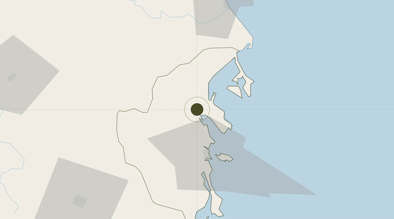
12.4917°, 109.1377°
1,220 ha
Zone area
28.8 km
Nearest port
55.6 km
Nearest airport

Gateway access

Nearest neighbours — logibook spatial index (haversine) over the source coordinates

Zone profile

Zone type
Diversified Zone
Open Zone Map
Region
Khánh Hòa
Open Zone Map
Status
Under Development
Open Zone Map
Management
Public
Open Zone Map
Operator
Government of Vietnam
Open Zone Map
Legal framework
Decree No.82/2018/ND-CP on Management of Industrial Parks and Economic Zones, Decree No 218/2013/ND-CP
Open Zone Map

Location

Location of ozm-5113
Natural Earth 10m (public domain) · Khánh Hòa · ozm-5113 · 12.49, 109.14GoogleOSMYandex

Nearby Logistics Neighbours

Ports
  1. 1Nha Trang29 km
  2. 2Vinh Cam Ranh68 km
  3. 3Qui Nhon142 km
  4. 4Phu My312 km
  5. 5Thanh Hoa318 km
Nearest neighbours — logibook spatial index (haversine) over the source coordinates
Airports
  1. 1Cam Ranh International Airport / Cam Ranh Air Base56 km
  2. 2Dong Tac Airport66 km
  3. 3Buon Ma Thuot Airport112 km
  4. 4Lien Khuong Airport118 km
  5. 5Phu Cat Airport163 km
Nearest neighbours — logibook spatial index (haversine) over the source coordinates
Cities
  1. 1Ninh Hòa1 km
  2. 2Trung Hoa14 km
  3. 3Dam Mon35 km
  4. 4Vung Ro50 km
  5. 5Cam Lâm66 km
Nearest neighbours — logibook spatial index (haversine) over the source coordinates
Trade Zones
  1. 1Ninh Thuy Industrial Zone11 km
  2. 2Van Phong Economic Zone24 km
  3. 3Van Phong Coastal Economic Zone29 km
  4. 4Suoi Dau Industrial Zone39 km
  5. 5Hoa Hiep Phase I Industrial Zone63 km
Nearest neighbours — logibook spatial index (haversine) over the source coordinates
DatabookThe Record of Consolidated Knowledge
Vietnam beyond logistics?
Browse databook

All Sources

Trade ZonesOpen Zone Map
CC BY
Portsthe NGA World Port Index
Public domain (US gov)
AirportsOurAirports
Public domain
LocationsUN/LOCODE
UN/LOCODE — free
← Vietnam trade zones