Transport Functions
Port
Road
Hub Profile
Place type
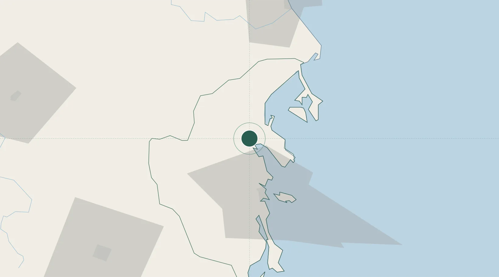
Provincial seat
Region
Khanh Hoa
Population
230,566
Time zone
Asia/Ho_Chi_Minh
Elevation
7 m
Location
Nearby Logistics Neighbours
Ports
- 1Nha Trang28 km
- 2Vinh Cam Ranh67 km
- 3Qui Nhon143 km
- 4Phu My311 km
- 5Thanh Hoa317 km
Airports
- 1Cam Ranh International Airport / Cam Ranh Air Base55 km
- 2Dong Tac Airport67 km
- 3Buon Ma Thuot Airport112 km
- 4Lien Khuong Airport117 km
- 5Phu Cat Airport164 km
Trade Zones
DatabookThe Record of Consolidated Knowledge
Vietnam beyond logistics?