Seaport · Vietnam

Nha TrangVNNHA

12.2500°, 109.2333°
11.0 m
Channel depth
13.5
Port liner connectivity

Channel & Berth Profile

SEA LEVEL (CD)CHANNEL BEDOil terminal · 9.4 mChannel · 11.0 mCargo pier · 11.0 mAnchorage · 14.0 m
NGA World Port Index

Pilotage, Tugs & Services

Pilotage compulsoryYES
Pilotage availableYES
Pilotage advisableYES
Tug assistanceYES
Shore powerNO
Potable waterYES
MedicalYES
Garbage disposalYES
NGA World Port Index

Facilities & Capabilities

Container
Ro-Ro
Liquid bulk
Dry bulk
Oil terminal
Break bulk
Dry dockNO
RepairsNO
BunkeringYES
Rail link
Dangerous cargo
ISPS security
NGA World Port Index

Harbour Specifications

Harbour size
Small
NGA World Port Index
Harbour type
Open Roadstead
NGA World Port Index
Shelter
Fair
NGA World Port Index
Water body
South China Sea; North Pacific Ocean
NGA World Port Index
Tidal range
2 m
NGA World Port Index
Overhead limit
No
NGA World Port Index
Pilotage
Yes
NGA World Port Index

Liner Connectivity

13.5
PLSCI

Port Liner Shipping Connectivity Index for Nha Trang, as published by UNCTAD for the latest available quarter. Higher values indicate stronger scheduled liner-shipping integration.

Shown relative to the highest per-port PLSCI in the dataset (1,657.9).
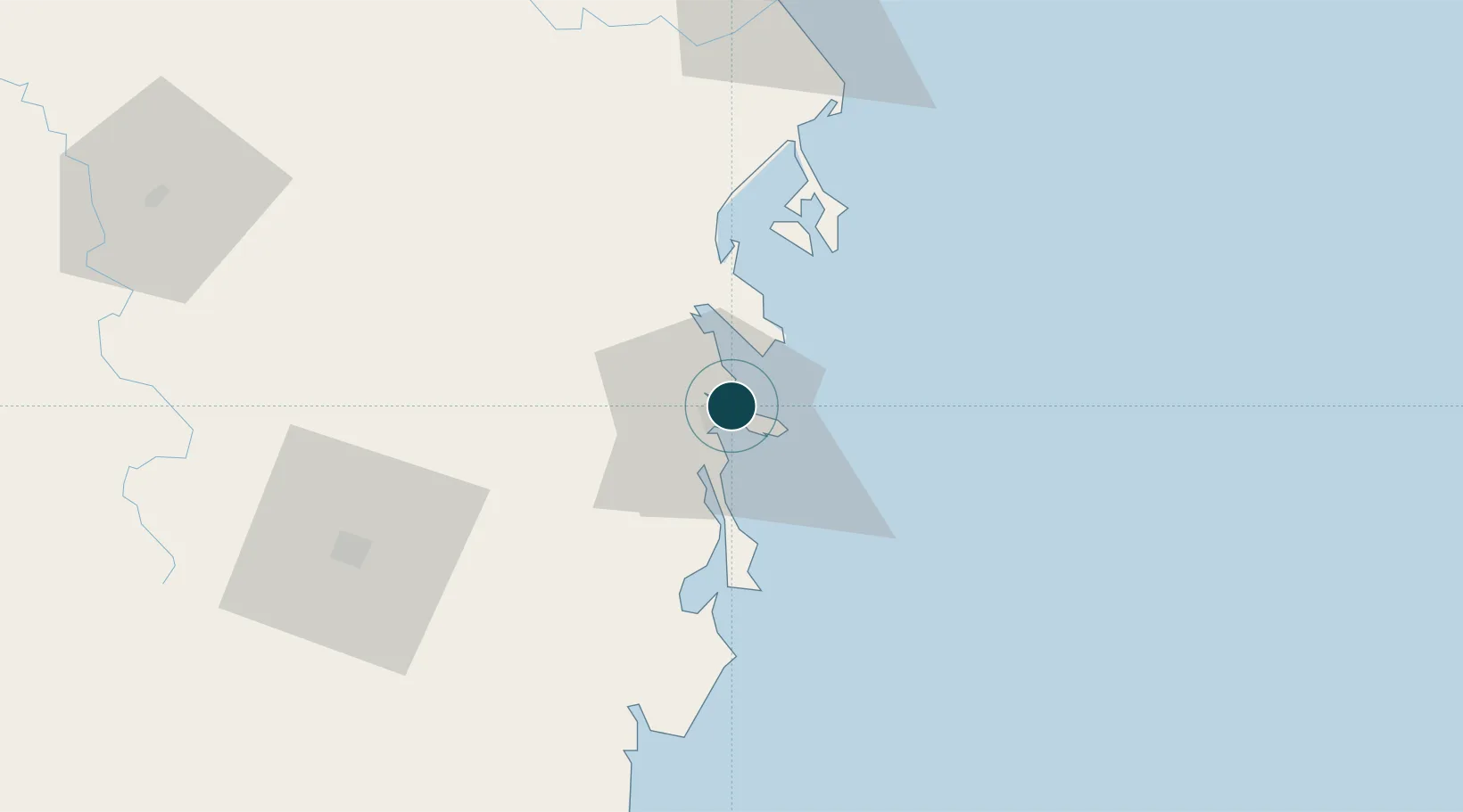
UNCTAD · Port Liner Shipping Connectivity Index

Location

Location of VNNHA
Natural Earth 10m (public domain) · Khánh Hòa · VNNHA · 12.25, 109.23GoogleOSMYandex

Nearby Logistics Neighbours

Ports
  1. 1Vinh Cam Ranh41 km
  2. 2Qui Nhon169 km
  3. 3Phu My303 km
  4. 4Thanh Hoa312 km
  5. 5Cat Lai315 km
Nearest neighbours — logibook spatial index (haversine) over the source coordinates
Cities
  1. 1Ninh Hòa28 km
  2. 2Cam Lâm40 km
  3. 3Ba Ngoi40 km
  4. 4Trung Hoa42 km
  5. 5Hiep Thanh49 km
Nearest neighbours — logibook spatial index (haversine) over the source coordinates
Airports
  1. 1Cam Ranh International Airport / Cam Ranh Air Base28 km
  2. 2Dong Tac Airport90 km
  3. 3Lien Khuong Airport109 km
  4. 4Buon Ma Thuot Airport130 km
  5. 5Phu Cat Airport191 km
Nearest neighbours — logibook spatial index (haversine) over the source coordinates
Trade Zones
  1. 1Suoi Dau Industrial Zone21 km
  2. 2Bắc Vân Phong Special Economic Zone29 km
  3. 3Ninh Thuy Industrial Zone29 km
  4. 4Van Phong Economic Zone44 km
  5. 5Van Phong Coastal Economic Zone53 km
Nearest neighbours — logibook spatial index (haversine) over the source coordinates
DatabookThe Record of Consolidated Knowledge
Vietnam beyond logistics?
Browse databook

All Sources

Portsthe NGA World Port Index
Public domain (US gov)
Logistics performanceUNCTAD
CC BY 3.0 IGO
AirportsOurAirports
Public domain
LocationsUN/LOCODE
UN/LOCODE — free
Trade Zonesthe World Bank SEZ database
CC BY 4.0
Trade ZonesOpen Zone Map
CC BY
← Vietnam ports