Diversified Zone · Vietnam

Phu Hoi Industrial Zone Active
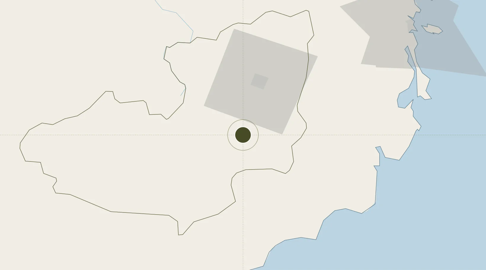
11.6937°, 108.3725°
98 ha
Zone area
89.0 km
Nearest port
6.4 km
Nearest airport

Gateway access

Nearest neighbours — logibook spatial index (haversine) over the source coordinates

Zone profile

Zone type
Diversified Zone
Open Zone Map
Region
Lâm Đồng
Open Zone Map
Status
Active
Open Zone Map
Management
Public
Open Zone Map
Operator
Lam Dong Industrial Zones Authority
Open Zone Map
Legal framework
Decree No.82/2018/ND-CP on Management of Industrial Parks and Economic Zones, Decree No 218/2013/ND-CP
Open Zone Map

Location

Location of ozm-251
Natural Earth 10m (public domain) · Lâm Đồng · ozm-251 · 11.69, 108.37GoogleOSMYandex

Nearby Logistics Neighbours

Ports
  1. 1Vinh Cam Ranh89 km
  2. 2Nha Trang112 km
  3. 3Phu My191 km
  4. 4Thanh Hoa200 km
  5. 5Cat Lai203 km
Nearest neighbours — logibook spatial index (haversine) over the source coordinates
Airports
  1. 1Lien Khuong Airport6 km
  2. 2Cam Ranh International Airport / Cam Ranh Air Base98 km
  3. 3Buon Ma Thuot Airport112 km
  4. 4Long Thanh International Airport (Under Construction)178 km
  5. 5Dong Tac Airport183 km
Nearest neighbours — logibook spatial index (haversine) over the source coordinates
Cities
  1. 1Hiep Thanh81 km
  2. 2Cam Lâm88 km
  3. 3Ba Ngoi88 km
  4. 4Long Binh107 km
  5. 5Buon Ma Thuot114 km
Nearest neighbours — logibook spatial index (haversine) over the source coordinates
Trade Zones
  1. 1Tuy Phong Industrial Zone60 km
  2. 2Lộc SÆ¡n Industrial Zone62 km
  3. 3Thanh Ha Industrial Zone68 km
  4. 4Du Long Industrial Zone72 km
  5. 5Đại Lao Industrial Zone75 km
Nearest neighbours — logibook spatial index (haversine) over the source coordinates
DatabookThe Record of Consolidated Knowledge
Vietnam beyond logistics?
Browse databook

All Sources

Trade ZonesOpen Zone Map
CC BY
Portsthe NGA World Port Index
Public domain (US gov)
AirportsOurAirports
Public domain
LocationsUN/LOCODE
UN/LOCODE — free
← Vietnam trade zones