Seaport · Vietnam

Phu MyVNPHU

10.5833°, 107.0333°
23.2 m
Channel depth
21.2
Port liner connectivity

Channel & Berth Profile

SEA LEVEL (CD)CHANNEL BEDCargo pier · 6.4 mOil terminal · 14.0 mChannel · 23.2 m
NGA World Port Index

Pilotage, Tugs & Services

Pilotage compulsoryYES
Pilotage availableYES
Tug assistanceYES
Potable waterYES
NGA World Port Index

Facilities & Capabilities

Container
Ro-Ro
Liquid bulk
Dry bulk
Oil terminal
Break bulk
Dry dock
Repairs
BunkeringYES
Rail link
Dangerous cargo
ISPS security
NGA World Port Index

Harbour Specifications

Harbour size
Very Small
NGA World Port Index
Harbour type
River (Natural)
NGA World Port Index
Shelter
Fair
NGA World Port Index
Water body
South China Sea; North Pacific Ocean
NGA World Port Index
Tidal range
4 m
NGA World Port Index
Overhead limit
Yes
NGA World Port Index
Pilotage
Yes
NGA World Port Index

Liner Connectivity

21.2
PLSCI

Port Liner Shipping Connectivity Index for Phu My, as published by UNCTAD for the latest available quarter. Higher values indicate stronger scheduled liner-shipping integration.

Shown relative to the highest per-port PLSCI in the dataset (1,657.9).
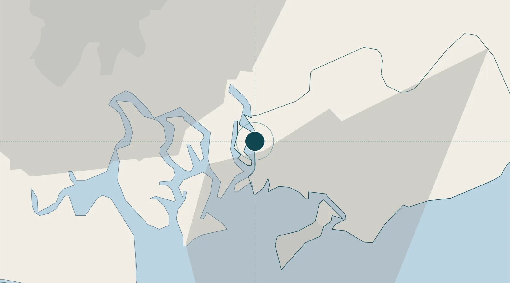
UNCTAD · Port Liner Shipping Connectivity Index

Location

Location of VNPHU
Natural Earth 10m (public domain) · Bà Rịa - Vũng Tàu · VNPHU · 10.58, 107.03GoogleOSMYandex

Nearby Logistics Neighbours

Ports
  1. 1Vung Tau30 km
  2. 2Cat Lai33 km
  3. 3Thanh Hoa39 km
  4. 4Thanh Ho Chi Minh40 km
  5. 5Vinh Cam Ranh274 km
Nearest neighbours — logibook spatial index (haversine) over the source coordinates
Cities
  1. 1Saigon ITV/Phu My3 km
  2. 2Go Dau B Terminal4 km
  3. 3Cai Mep6 km
  4. 4Vung Tau6 km
  5. 5Go Dau A Terminal8 km
Nearest neighbours — logibook spatial index (haversine) over the source coordinates
Airports
  1. 1Long Thanh International Airport (Under Construction)21 km
  2. 2Tan Son Nhat International Airport49 km
  3. 3Can Tho International Airport155 km
  4. 4Lien Khuong Airport195 km
  5. 5Con Dao Airport211 km
Nearest neighbours — logibook spatial index (haversine) over the source coordinates
Trade Zones
  1. 1Phu My I Industrial Zone2 km
  2. 2My Xuan A2 Industrial Zone6 km
  3. 3My Xuan A Industrial Zone7 km
  4. 4My Xuan B1 - Conac Industrial Zone7 km
  5. 5Go Dau Industrial Park8 km
Nearest neighbours — logibook spatial index (haversine) over the source coordinates
DatabookThe Record of Consolidated Knowledge
Vietnam beyond logistics?
Browse databook

All Sources

Portsthe NGA World Port Index
Public domain (US gov)
Logistics performanceUNCTAD
CC BY 3.0 IGO
AirportsOurAirports
Public domain
LocationsUN/LOCODE
UN/LOCODE — free
Trade Zonesthe World Bank SEZ database
CC BY 4.0
Trade ZonesOpen Zone Map
CC BY
← Vietnam ports