Diversified Zone · Vietnam

Tuy Phong Industrial Zone Under Development
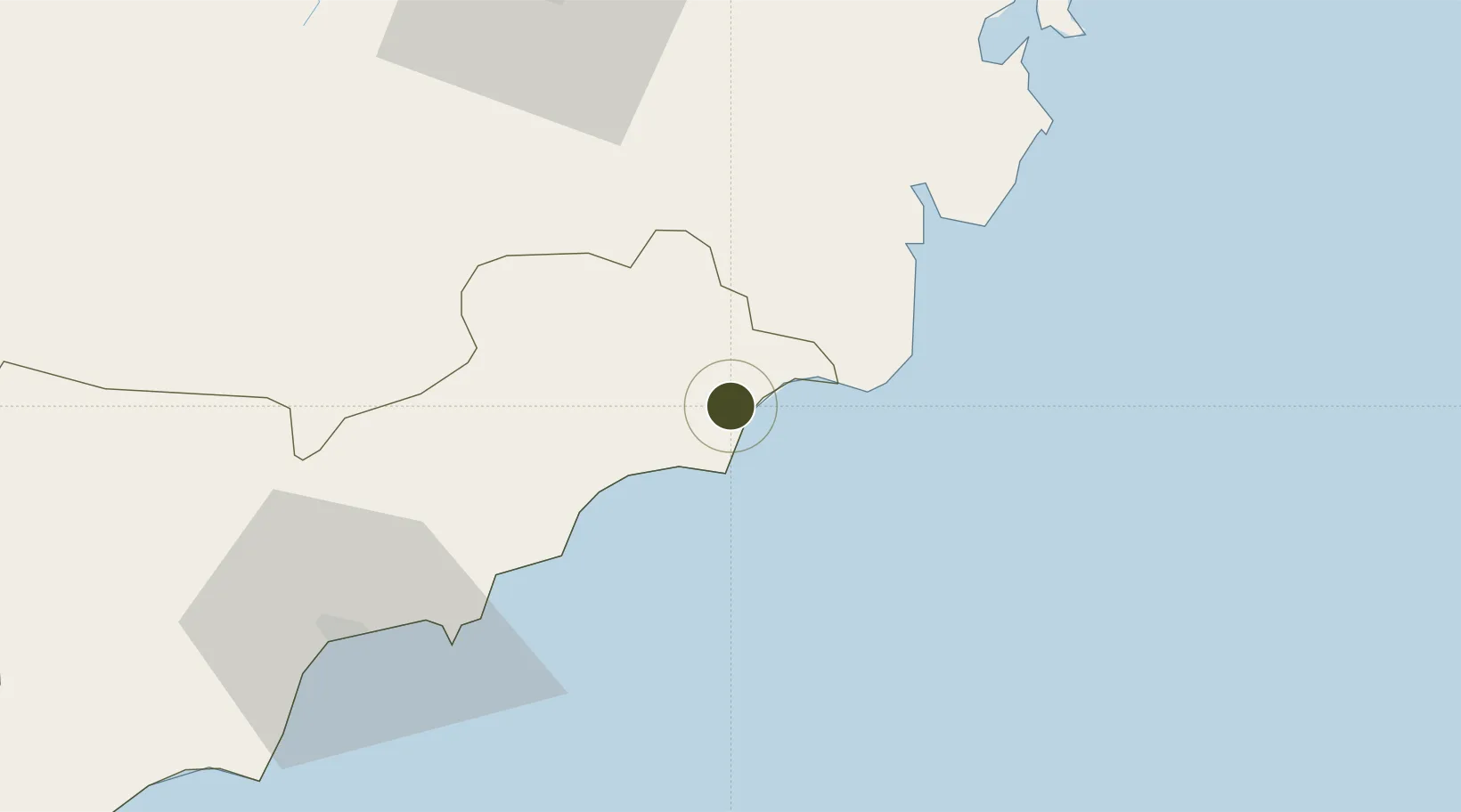
11.2879°, 108.7374°
150 ha
Zone area
81.1 km
Nearest port
65.4 km
Nearest airport

Gateway access

Nearest neighbours — logibook spatial index (haversine) over the source coordinates

Zone profile

Zone type
Diversified Zone
Open Zone Map
Region
Bình Thuận
Open Zone Map
Status
Under Development
Open Zone Map
Management
Public
Open Zone Map
Operator
Tan Dai Tien Binh Thuan Company
Open Zone Map
Legal framework
Decree No.82/2018/ND-CP on Management of Industrial Parks and Economic Zones, Decree No 218/2013/ND-CP
Open Zone Map

Location

Location of ozm-5116
Natural Earth 10m (public domain) · Bình Thuận · ozm-5116 · 11.29, 108.74GoogleOSMYandex

Nearby Logistics Neighbours

Ports
  1. 1Vinh Cam Ranh81 km
  2. 2Nha Trang120 km
  3. 3Phu My202 km
  4. 4Vung Tau212 km
  5. 5Thanh Hoa221 km
Nearest neighbours — logibook spatial index (haversine) over the source coordinates
Airports
  1. 1Lien Khuong Airport65 km
  2. 2Cam Ranh International Airport / Cam Ranh Air Base95 km
  3. 3Buon Ma Thuot Airport168 km
  4. 4Long Thanh International Airport (Under Construction)194 km
  5. 5Dong Tac Airport206 km
Nearest neighbours — logibook spatial index (haversine) over the source coordinates
Cities
  1. 1Hiep Thanh72 km
  2. 2Cam Lâm82 km
  3. 3Ba Ngoi82 km
  4. 4Su Tu Den104 km
  5. 5Long Binh135 km
Nearest neighbours — logibook spatial index (haversine) over the source coordinates
Trade Zones
  1. 1Thanh Ha Industrial Zone47 km
  2. 2Du Long Industrial Zone53 km
  3. 3Phu Hoi Industrial Zone60 km
  4. 4Phan Thiet 2 Industrial Zone78 km
  5. 5Phu Tai Industrial Zone79 km
Nearest neighbours — logibook spatial index (haversine) over the source coordinates
DatabookThe Record of Consolidated Knowledge
Vietnam beyond logistics?
Browse databook

All Sources

Trade ZonesOpen Zone Map
CC BY
Portsthe NGA World Port Index
Public domain (US gov)
AirportsOurAirports
Public domain
LocationsUN/LOCODE
UN/LOCODE — free
← Vietnam trade zones