Medium airport · Vietnam
Dong Tac AirportVVTH
13.0496°, 109.3340°
9,520 ft
Longest runway
1
Runways
20 ft
Elevation
Runway & Layout

Runways · 1
| Runway | Dimensions | Surface | True heading | Lit |
|---|---|---|---|---|
| 03/21 | 9,520 × 148ft | Concrete | 030° | — |
Airport Specifications
IATA code
TBB
ICAO code
VVTH
Airport class
Medium airport
Scheduled service
Yes
Runway surface
Concrete
Served city
Tuy Hoa
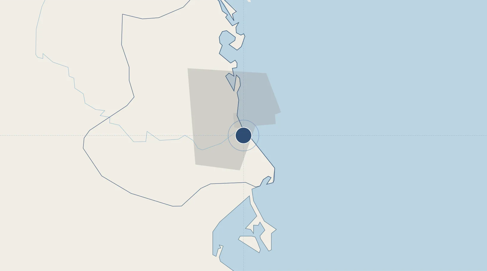
Location
Nearby Logistics Neighbours
Airports
- 1Phu Cat Airport106 km
- 2Cam Ranh International Airport / Cam Ranh Air Base118 km
- 3Buon Ma Thuot Airport138 km
- 4Pleiku Airport178 km
- 5Lien Khuong Airport179 km
Cities
- 1Vung Ro24 km
- 2Dam Mon43 km
- 3Trung Hoa52 km
- 4Ninh Hòa67 km
- 5Thi Nai Port80 km
Ports
- 1Qui Nhon81 km
- 2Nha Trang90 km
- 3Vinh Cam Ranh131 km
- 4Da Nang360 km
- 5Phu My371 km
Trade Zones
DatabookThe Record of Consolidated Knowledge
Vietnam beyond logistics?