Transport Functions
Rail
Road
Multimodal
Hub Profile
Place type
Provincial seat
Region
Nebraska
Population
7,167
Time zone
America/Chicago
Elevation
455 m
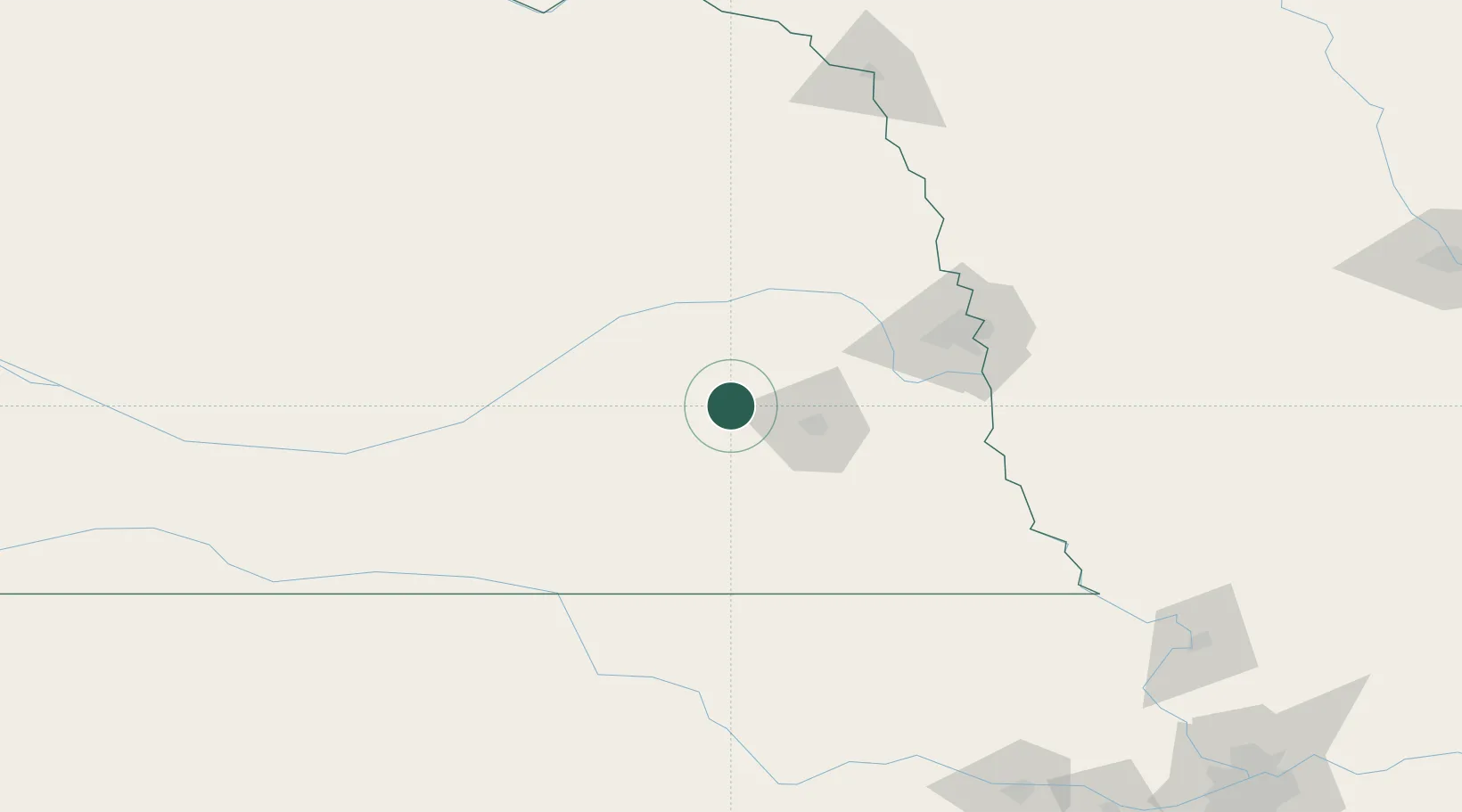
Location
Nearby Logistics Neighbours
Cities
- 1Goehner15 km
- 2Valparaiso29 km
- 3David City39 km
- 4Ceresco41 km
- 5Shelby42 km
Ports
- 1Superior763 km
- 2Duluth765 km
- 3Ashland806 km
- 4Two Harbors807 km
- 5Washburn811 km
Airports
- 1Lincoln Airport28 km
- 2Columbus Municipal Airport65 km
- 3Offutt Air Force Base102 km
- 4Central Nebraska Regional Airport103 km
- 5Eppley Airfield109 km
Trade Zones
- 1FTZ No. 059 Lincoln24 km
- 2FTZ No. 133 Quad-Cities, Iowa Illinois106 km
- 3FTZ No. 288 Northwest Iowa265 km
- 4FTZ No. 017 Kansas City277 km
- 5FTZ No. 107 Polk County295 km
DatabookThe Record of Consolidated Knowledge
United States beyond logistics?