Medium airport · United States

Central Nebraska Regional AirportKGRI
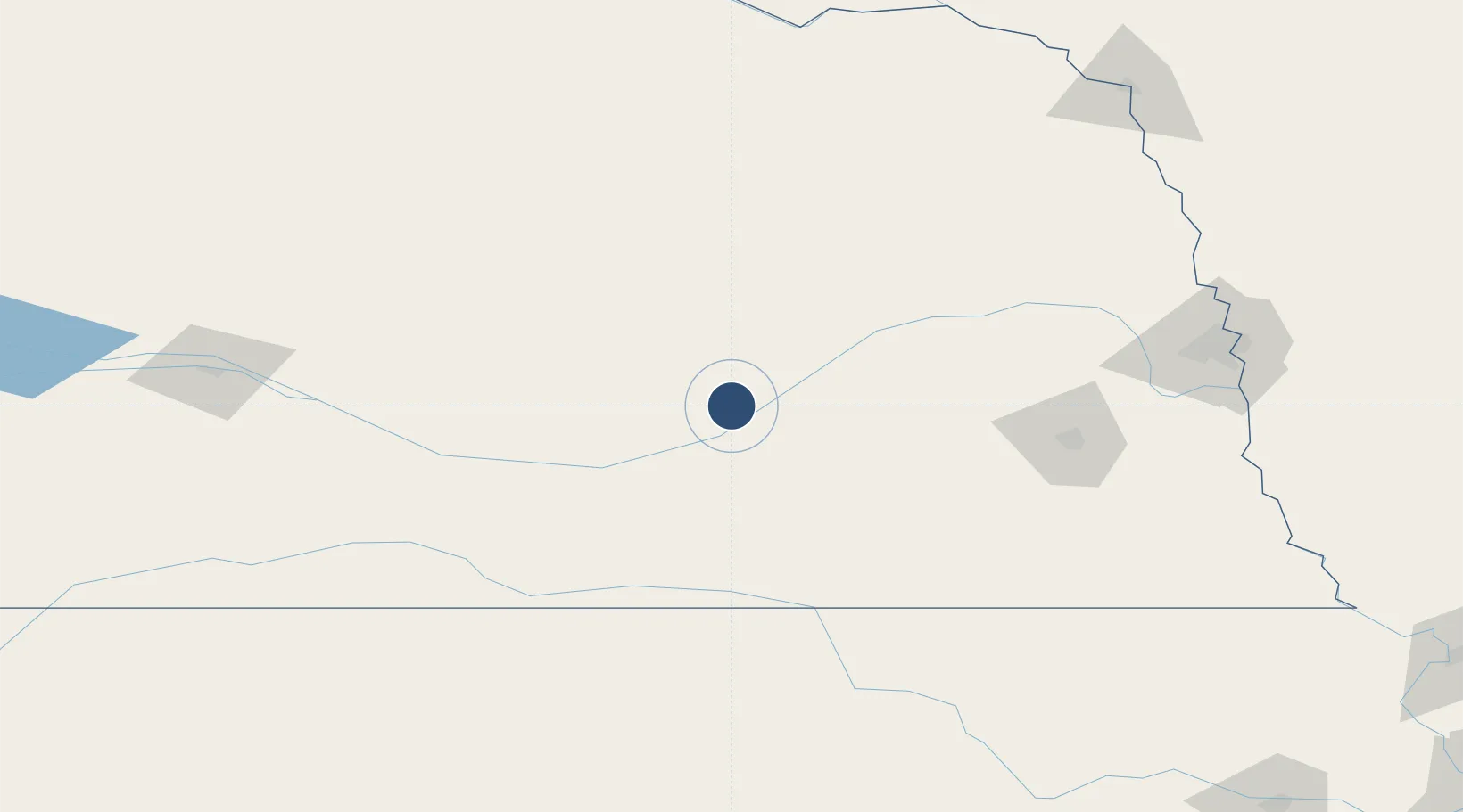
40.9675°, -98.3096°
7,002 ft
Longest runway
2
Runways
1,847 ft
Elevation

Runway & Layout

Central Nebraska Regional Airport runway & taxiway layout
Runway & taxiway layout — OpenStreetMap (ODbL) / OurAirports

Radio Frequencies

ATIS
127.4 MHz
TWR
118.2 MHz
GRAND ISLAND TWR
GND
121.9 MHz
CLD
121.9 MHz
CLNC DEL
CTAF
118.2 MHz
CNTR
119.4 MHz
MINNEAPOLIS CNTR
OPS
38 MHz
ARNG OPS
RDO
122.45 MHz
COLUMBUS RDO
UNIC
122.95 MHz
UNICOM
OurAirports

Navaids

GR NDB Sancy 380 kHz
GRI VORTAC Grand Island 112.00 MHz
OurAirports

Runways · 2

RunwayDimensions SurfaceTrue headingLit
17/35 7,002 × 150ft Asphalt 180°
13/31 6,608 × 100ft Concrete 135°
OurAirports

Airport Specifications

IATA code
GRI
OurAirports
ICAO code
KGRI
OurAirports
Airport class
Medium airport
OurAirports
Scheduled service
Yes
OurAirports
Runway surface
Asphalt
OurAirports
Served city
Grand Island
OurAirports

Location

Location of KGRI
Natural Earth 10m (public domain) · Nebraska · KGRI · 40.97, -98.31GoogleOSMYandex

Nearby Logistics Neighbours

Airports
  1. 1Kearney Regional Airport65 km
  2. 2Columbus Municipal Airport97 km
  3. 3Lincoln Airport131 km
  4. 4Karl Stefan Memorial Airport135 km
  5. 5North Platte Regional Airport Lee Bird Field200 km
Nearest neighbours — logibook spatial index (haversine) over the source coordinates
Cities
  1. 1Loup City65 km
  2. 2Minden75 km
  3. 3Shelby79 km
  4. 4Odessa85 km
  5. 5Goehner93 km
Nearest neighbours — logibook spatial index (haversine) over the source coordinates
Ports
  1. 1Superior813 km
  2. 2Duluth814 km
  3. 3Two Harbors857 km
  4. 4Ashland865 km
  5. 5Washburn869 km
Nearest neighbours — logibook spatial index (haversine) over the source coordinates
Trade Zones
  1. 1FTZ No. 059 Lincoln126 km
  2. 2FTZ No. 133 Quad-Cities, Iowa Illinois191 km
  3. 3FTZ No. 288 Northwest Iowa306 km
  4. 4FTZ No. 220 Sioux Falls313 km
  5. 5FTZ No. 017 Kansas City361 km
Nearest neighbours — logibook spatial index (haversine) over the source coordinates
DatabookThe Record of Consolidated Knowledge
United States beyond logistics?
Browse databook

All Sources

AirportsOurAirports
Public domain
Portsthe NGA World Port Index
Public domain (US gov)
LocationsUN/LOCODE
UN/LOCODE — free
Trade Zonesthe World Bank SEZ database
CC BY 4.0
Trade ZonesOpen Zone Map
CC BY
InfrastructureOpenStreetMap
ODbL 1.0
← United States airports