UN/LOCODE hub · United States
USJHS
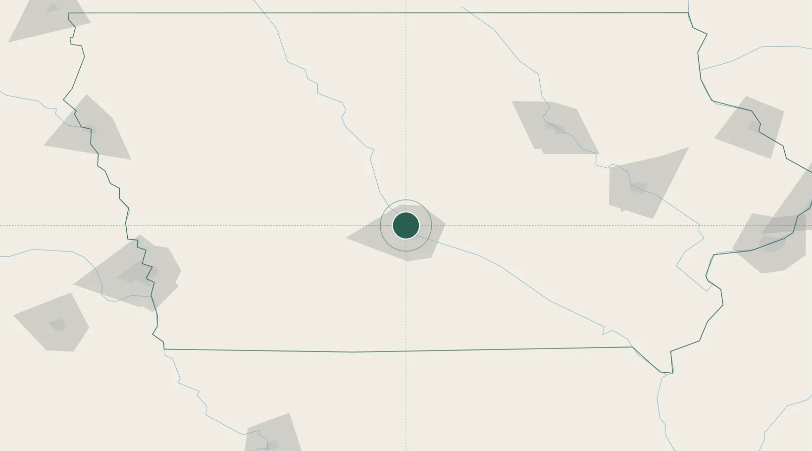
Johnston
41.6667°, -93.6833°
20,871
Population
3
Transport functions
Transport Functions
Rail
Road
Multimodal
Hub Profile
Place type
Populated place
Region
Iowa
Population
20,871
Time zone
America/Chicago
Elevation
253 m
Location
Nearby Logistics Neighbours
Cities
- 1Clive8 km
- 2Des Moines8 km
- 3Pleasant Hill17 km
- 4Bondurant18 km
- 5Altoona18 km
Ports
- 1Great Lakes489 km
- 2Waukegan491 km
- 3Kenosha494 km
- 4Wilmette499 km
- 5Milwaukee500 km
Airports
- 1Des Moines International Airport15 km
- 2Fort Dodge Regional Airport107 km
- 3Ottumwa Regional Airport120 km
- 4Waterloo Regional Airport145 km
- 5The Eastern Iowa Airport165 km
Trade Zones
DatabookThe Record of Consolidated Knowledge
United States beyond logistics?