UN/LOCODE hub · United States
USDSM
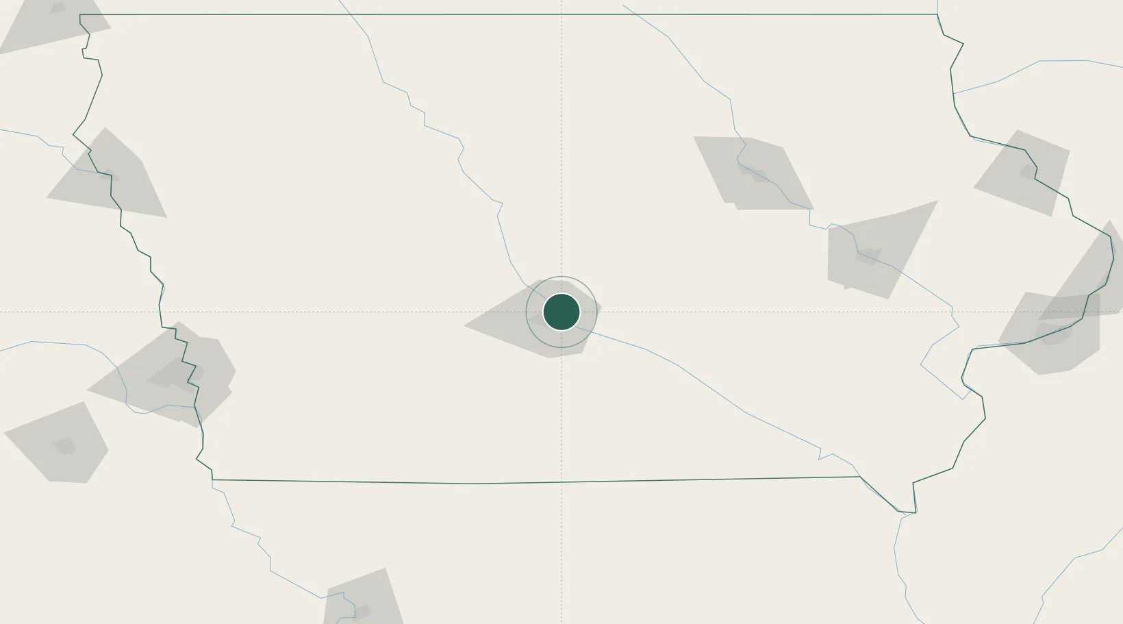
Des Moines
41.6456°, -93.5916°
214,133
Population
2
Transport functions
Transport Functions
Port
Airport
Hub Profile
Place type
Regional capital
Region
Iowa
Population
214,133
Time zone
America/Chicago
Elevation
266 m
Logistics facilities
1
Location
Nearby Logistics Neighbours
Cities
- 1Johnston8 km
- 2Pleasant Hill9 km
- 3Altoona11 km
- 4Clive12 km
- 5Bondurant12 km
Ports
- 1Great Lakes482 km
- 2Waukegan484 km
- 3Kenosha488 km
- 4Wilmette492 km
- 5Racine494 km
Airports
- 1Des Moines International Airport14 km
- 2Fort Dodge Regional Airport112 km
- 3Ottumwa Regional Airport113 km
- 4Waterloo Regional Airport141 km
- 5The Eastern Iowa Airport158 km
Trade Zones
- 1FTZ No. 107 Polk County11 km
- 2FTZ No. 175 Cedar Rapids153 km
- 3FTZ No. 055 Burlington228 km
- 4FTZ No. 288 Northwest Iowa265 km
- 5FTZ No. 133 Quad-Cities, Iowa Illinois283 km
DatabookThe Record of Consolidated Knowledge
United States beyond logistics?