UN/LOCODE hub · United States
USLSH
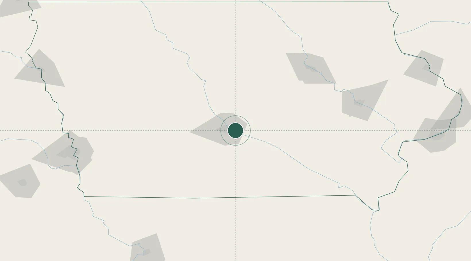
Pleasant Hill
41.5833°, -93.5167°
9,314
Population
3
Transport functions
Transport Functions
Rail
Road
Multimodal
Hub Profile
Place type
Populated place
Region
Iowa
Population
9,314
Time zone
America/Chicago
Elevation
267 m
Location
Nearby Logistics Neighbours
Cities
- 1Altoona7 km
- 2Des Moines9 km
- 3Bondurant14 km
- 4Elkhart15 km
- 5Johnston17 km
Ports
- 1Great Lakes477 km
- 2Waukegan479 km
- 3Kenosha483 km
- 4Wilmette486 km
- 5Racine490 km
Airports
- 1Des Moines International Airport13 km
- 2Ottumwa Regional Airport104 km
- 3Fort Dodge Regional Airport121 km
- 4Waterloo Regional Airport142 km
- 5The Eastern Iowa Airport154 km
Trade Zones
DatabookThe Record of Consolidated Knowledge
United States beyond logistics?