Transport Functions
Rail
Road
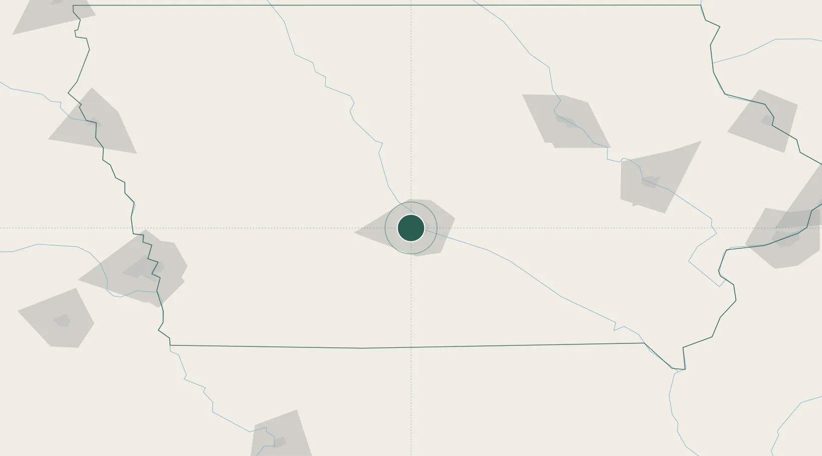
Hub Profile
Place type
Populated place
Region
Iowa
Population
15,447
Time zone
America/Chicago
Elevation
254 m
Location
Nearby Logistics Neighbours
Cities
- 1Johnston8 km
- 2Des Moines12 km
- 3Pleasant Hill17 km
- 4Altoona21 km
- 5Dallas Center22 km
Ports
- 1Great Lakes493 km
- 2Waukegan495 km
- 3Kenosha499 km
- 4Wilmette503 km
- 5Racine505 km
Airports
- 1Des Moines International Airport9 km
- 2Fort Dodge Regional Airport113 km
- 3Ottumwa Regional Airport119 km
- 4Waterloo Regional Airport152 km
- 5The Eastern Iowa Airport169 km
Trade Zones
DatabookThe Record of Consolidated Knowledge
United States beyond logistics?