UN/LOCODE hub · United States
USHAU
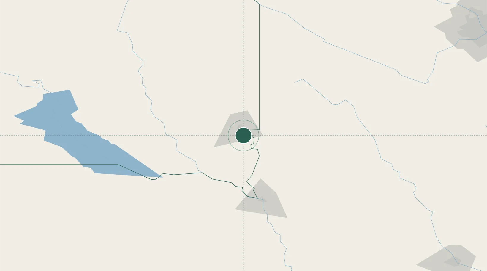
Harrisburg
43.4167°, -96.6833°
5,498
Population
2
Transport functions
Transport Functions
Rail
Road
Hub Profile
Place type
Populated place
Region
South Dakota
Population
5,498
Time zone
America/Chicago
Elevation
435 m
Location
Nearby Logistics Neighbours
Cities
- 1Rowena16 km
- 2Brandon23 km
- 3Inwood23 km
- 4Rock Valley39 km
- 5Beresford40 km
Ports
- 1Superior517 km
- 2Duluth518 km
- 3Two Harbors562 km
- 4Ashland578 km
- 5Washburn581 km
Airports
Trade Zones
- 1FTZ No. 220 Sioux Falls17 km
- 2FTZ No. 288 Northwest Iowa57 km
- 3FTZ No. 059 Lincoln291 km
- 4FTZ No. 107 Polk County311 km
- 5FTZ No. 119 Minneapolis-St. Paul325 km
DatabookThe Record of Consolidated Knowledge
United States beyond logistics?