Medium airport · United States
Huron Regional AirportKHON
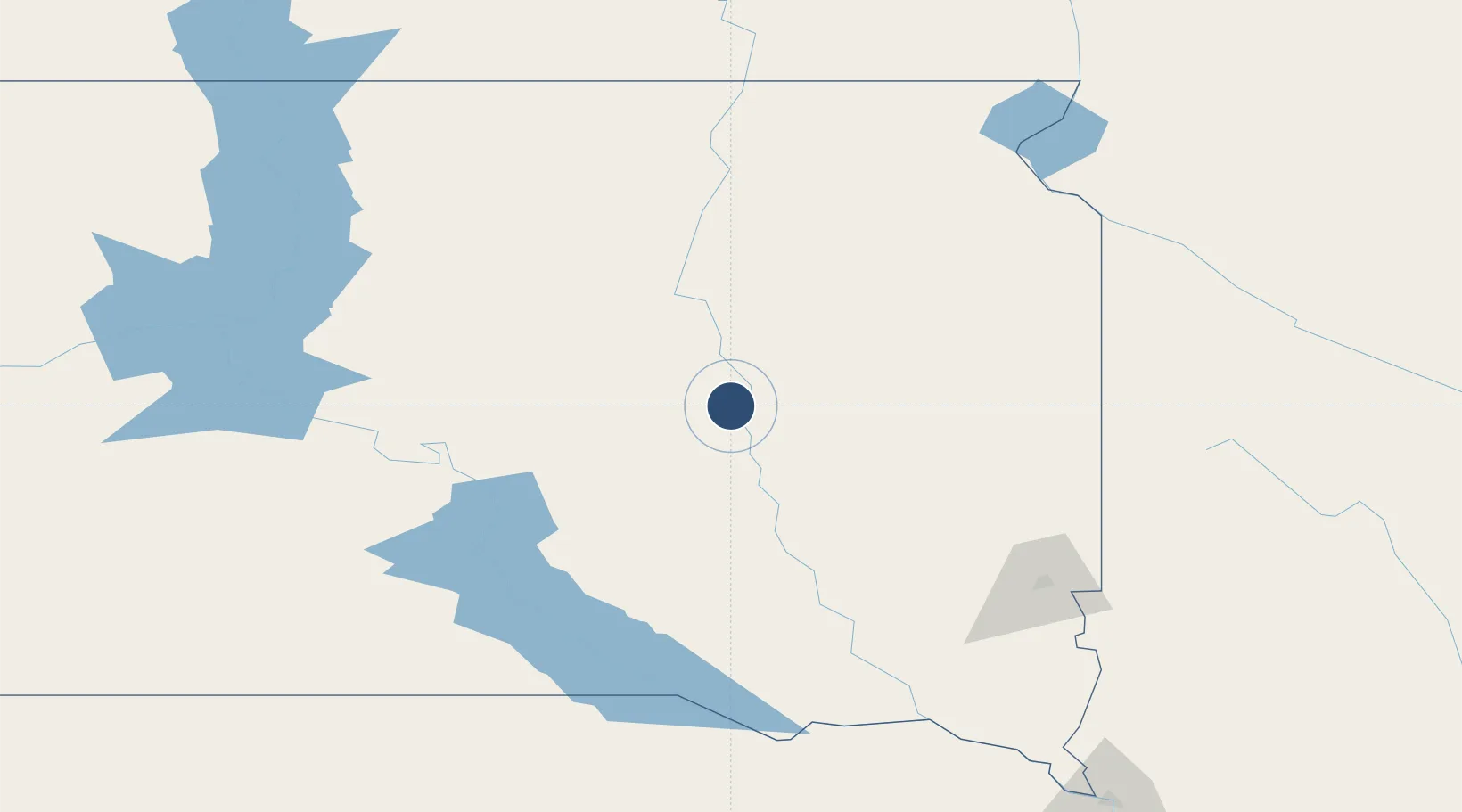
44.3852°, -98.2285°
7,201 ft
Longest runway
2
Runways
1,289 ft
Elevation
Runway & Layout

Radio Frequencies
ASOS
118.125 MHz
CTAF
123.6 MHz
CNTR
126.25 MHz
MINNEAPOLIS CNTR
RDO
122.1 MHz
RDO
122.2 MHz
UNIC
123 MHz
UNICOM
Navaids
HO NDB Beady 302 kHz
HON VORTAC Huron 117.60 MHz
Runways · 2
| Runway | Dimensions | Surface | True heading | Lit |
|---|---|---|---|---|
| 12/30 | 7,201 × 100ft | Concrete | 128° | ✓ |
| 18/36 | 5,000 × 75ft | Concrete | 180° | ✓ |
Airport Specifications
IATA code
HON
ICAO code
KHON
Airport class
Medium airport
Scheduled service
No
Runway surface
Concrete
Served city
Huron
Location
Nearby Logistics Neighbours
Airports
- 1Watertown Regional Airport103 km
- 2Aberdeen Regional Airport119 km
- 3Sioux Falls Regional Airport149 km
- 4Pierre Regional Airport164 km
- 5Chan Gurney Municipal Airport177 km
Cities
- 1Woonsocket37 km
- 2Frankfort56 km
- 3Byant63 km
- 4Oldham76 km
- 5Arlington87 km
Ports
- 1Duluth545 km
- 2Superior546 km
- 3Two Harbors589 km
- 4Ashland624 km
- 5Washburn626 km
Trade Zones
- 1FTZ No. 220 Sioux Falls148 km
- 2FTZ No. 288 Northwest Iowa220 km
- 3FTZ No. 267 Fargo292 km
- 4FTZ No. 119 Minneapolis-St. Paul400 km
- 5FTZ No. 103 Grand Forks401 km
DatabookThe Record of Consolidated Knowledge
United States beyond logistics?