Medium airport · United States
Chan Gurney Municipal AirportKYKN
42.9167°, -97.3859°
6,094 ft
Longest runway
2
Runways
1,306 ft
Elevation
Runway & Layout

Radio Frequencies
AWOS
111.4 MHz
AWOS 3
CNTR
124.1 MHz
MINNEAPOLIS CNTR
RDO
111.4 MHz
HURON RDO
UNIC
122.8 MHz
CTAF/UNICOM
Navaids
YK NDB Cagur 347 kHz
YKN VOR-DME Yankton 111.40 MHz
Runways · 2
| Runway | Dimensions | Surface | True heading | Lit |
|---|---|---|---|---|
| 13/31 | 6,094 × 100ft | Concrete | 140° | ✓ |
| 01/19 | 3,380 × 75ft | Asphalt | 021° | ✓ |
Airport Specifications
IATA code
YKN
ICAO code
KYKN
Airport class
Medium airport
Scheduled service
No
Runway surface
Concrete
Served city
Yankton
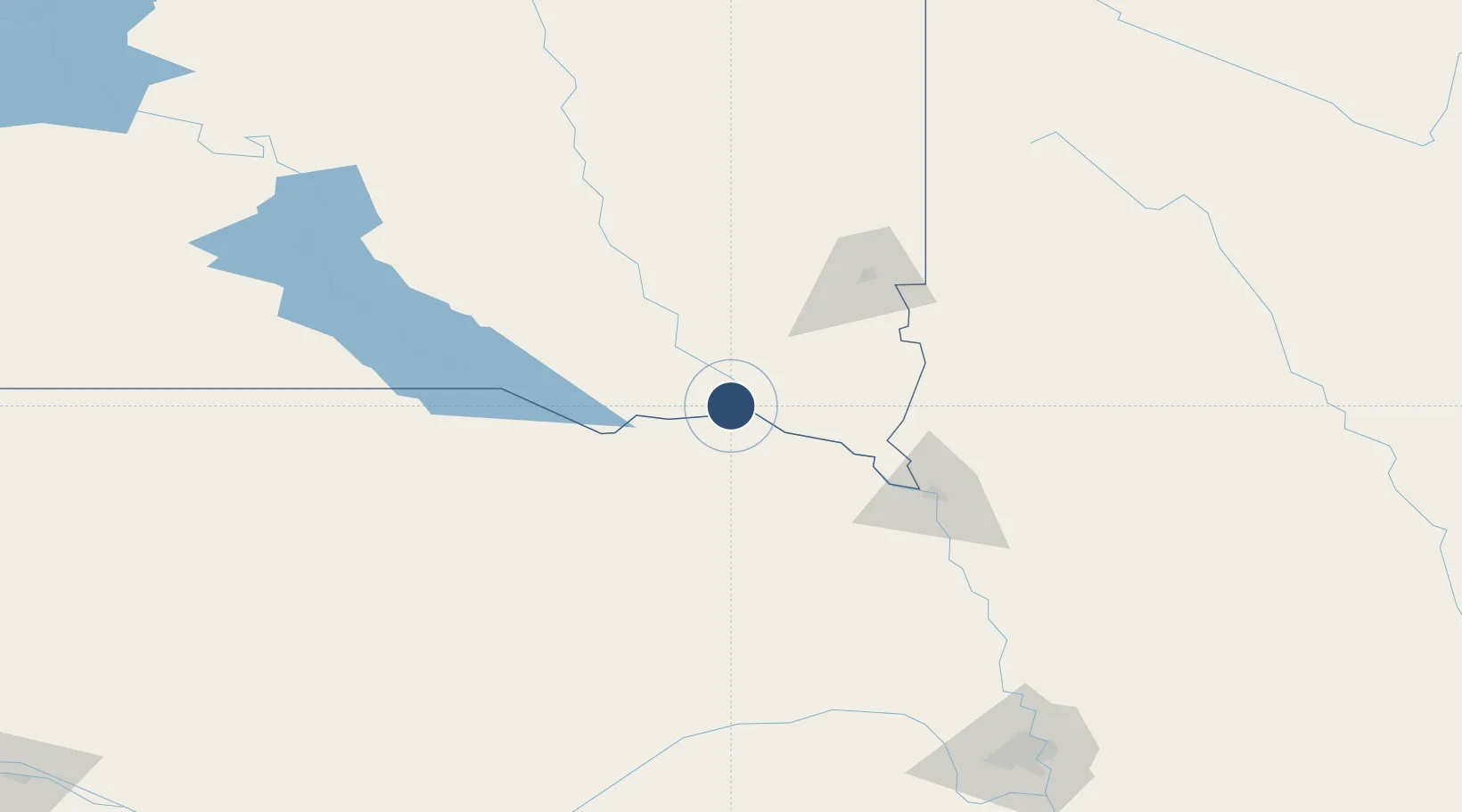
Location
Nearby Logistics Neighbours
Airports
Cities
- 1Gayville, Yankton18 km
- 2Tabor22 km
- 3Scotland36 km
- 4Vermillion41 km
- 5Beresford53 km
Ports
- 1Superior597 km
- 2Duluth597 km
- 3Two Harbors641 km
- 4Ashland657 km
- 5Washburn661 km
Trade Zones
- 1FTZ No. 220 Sioux Falls85 km
- 2FTZ No. 288 Northwest Iowa110 km
- 3FTZ No. 059 Lincoln240 km
- 4FTZ No. 133 Quad-Cities, Iowa Illinois320 km
- 5FTZ No. 107 Polk County332 km
DatabookThe Record of Consolidated Knowledge
United States beyond logistics?