Transport Functions
Rail
Road
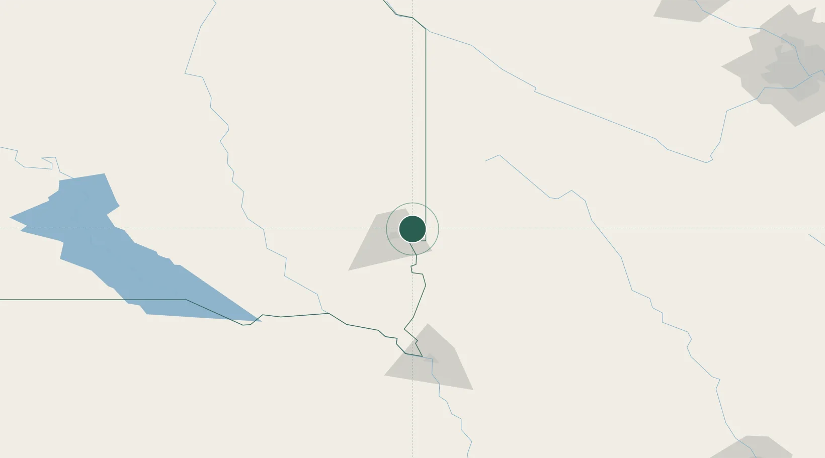
Hub Profile
Place type
Populated place
Region
South Dakota
Population
9,856
Time zone
America/Chicago
Elevation
413 m
Location
Nearby Logistics Neighbours
Cities
- 1Rowena9 km
- 2Harrisburg23 km
- 3Luverne30 km
- 4Inwood33 km
- 5Hardwick36 km
Ports
- 1Superior496 km
- 2Duluth496 km
- 3Two Harbors540 km
- 4Ashland558 km
- 5Washburn561 km
Airports
Trade Zones
- 1FTZ No. 220 Sioux Falls19 km
- 2FTZ No. 288 Northwest Iowa63 km
- 3FTZ No. 119 Minneapolis-St. Paul306 km
- 4FTZ No. 059 Lincoln312 km
- 5FTZ No. 107 Polk County317 km
DatabookThe Record of Consolidated Knowledge
United States beyond logistics?