Transport Functions
Road
Multimodal
Hub Profile
Place type
Provincial seat
Region
Minnesota
Population
4,677
Time zone
America/Chicago
Elevation
447 m
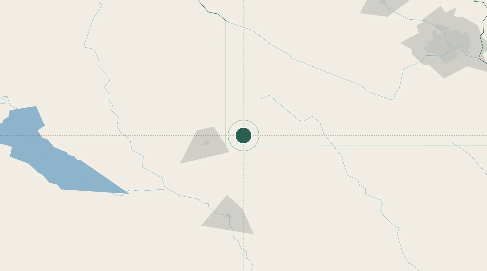
Location
Nearby Logistics Neighbours
Ports
- 1Superior472 km
- 2Duluth472 km
- 3Two Harbors516 km
- 4Ashland532 km
- 5Washburn535 km
Airports
Trade Zones
- 1FTZ No. 220 Sioux Falls49 km
- 2FTZ No. 288 Northwest Iowa55 km
- 3FTZ No. 119 Minneapolis-St. Paul278 km
- 4FTZ No. 107 Polk County300 km
- 5FTZ No. 059 Lincoln321 km
DatabookThe Record of Consolidated Knowledge
United States beyond logistics?