Medium airport · United States
Sioux Falls Regional AirportKFSD
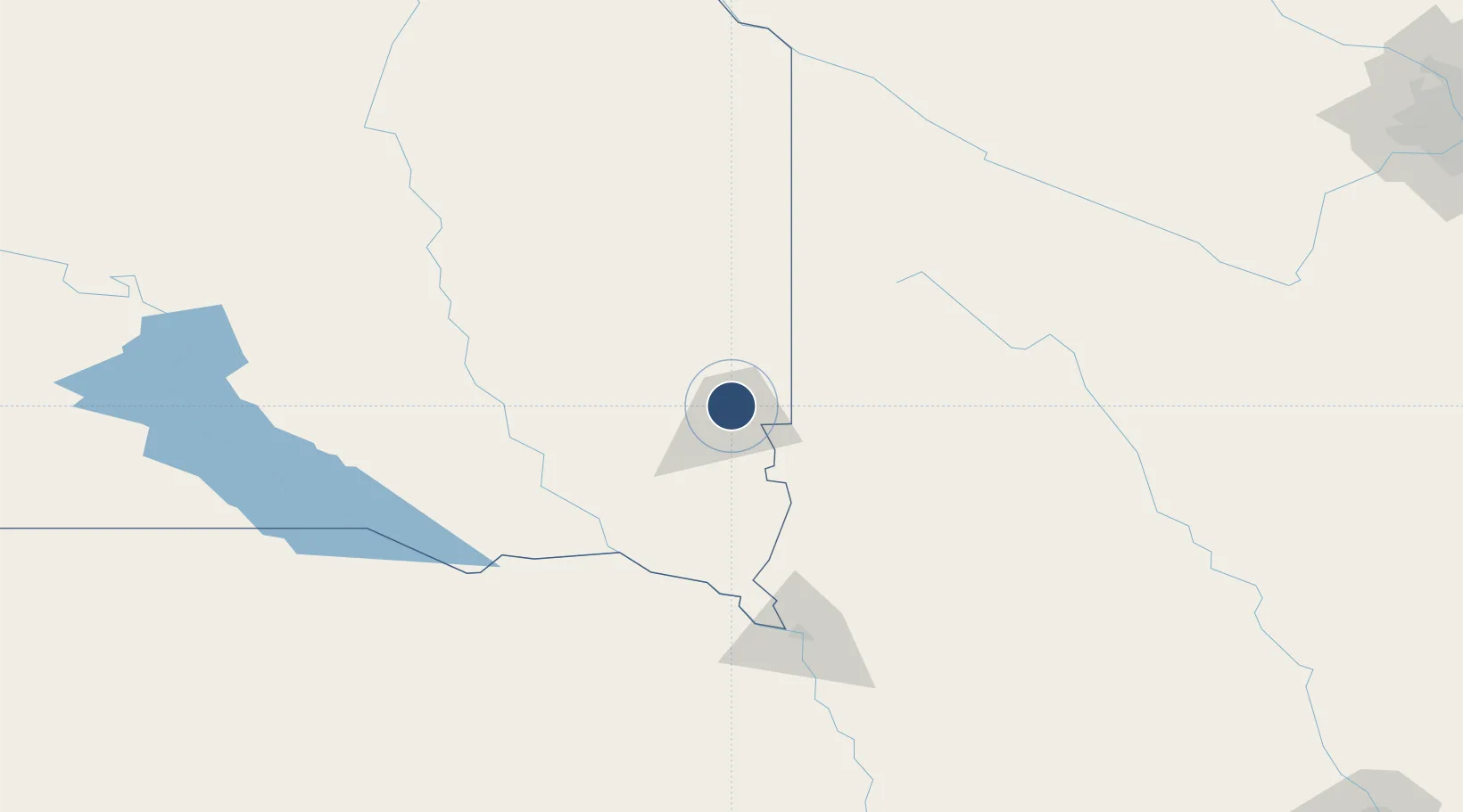
43.5855°, -96.7412°
9,000 ft
Longest runway
3
Runways
1,429 ft
Elevation
Runway & Layout

Radio Frequencies
ATIS
126.6 MHz
TWR
118.3 MHz
SIOUX FALLS TWR
GND
121.9 MHz
SIOUX FALLS GND
CTAF
118.3 MHz
A/D
125.8 MHz
SIOUX FALLS APP/DEP
RDO
122.2 MHz
HURON RDO
UNIC
122.95 MHz
UNICOM
Navaids
FS NDB Rokky 245 kHz
FSD VORTAC Sioux Falls 115.00 MHz
Runways · 3
| Runway | Dimensions | Surface | True heading | Lit |
|---|---|---|---|---|
| 03/21 | 9,000 × 150ft | Concrete | 035° | ✓ |
| 15/33 | 8,000 × 150ft | Asphalt | 155° | ✓ |
| 09/27 | 3,151 × 75ft | Concrete | 103° | ✓ |
Airport Specifications
IATA code
FSD
ICAO code
KFSD
Airport class
Medium airport
Scheduled service
Yes
Runway surface
Concrete
Served city
Sioux Falls
Location
Nearby Logistics Neighbours
Airports
Cities
- 1Brandon14 km
- 2Rowena17 km
- 3Harrisburg19 km
- 4Inwood39 km
- 5Luverne44 km
Ports
- 1Superior507 km
- 2Duluth507 km
- 3Two Harbors551 km
- 4Ashland570 km
- 5Washburn573 km
Trade Zones
- 1FTZ No. 220 Sioux Falls6 km
- 2FTZ No. 288 Northwest Iowa72 km
- 3FTZ No. 059 Lincoln310 km
- 4FTZ No. 119 Minneapolis-St. Paul319 km
- 5FTZ No. 107 Polk County327 km
DatabookThe Record of Consolidated Knowledge
United States beyond logistics?