Medium airport · United States
Watertown Regional AirportKATY
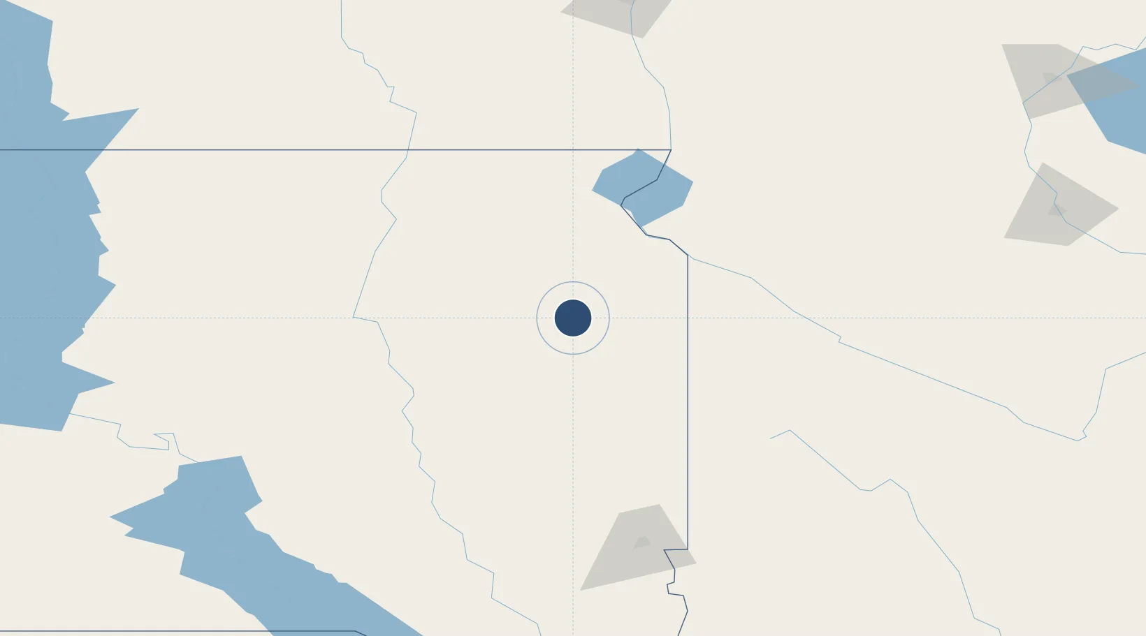
44.9140°, -97.1547°
6,898 ft
Longest runway
2
Runways
1,749 ft
Elevation
Runway & Layout

Radio Frequencies
ASOS
126.625 MHz
CNTR
128.5 MHz
MINNEAPOLIS CNTR
RDO
122.5 MHz
HURON RDO
UNIC
123.05 MHz
CTAF/UNICOM
Navaids
AT NDB Lican 215 kHz
ATY VORTAC Watertown 116.60 MHz
Runways · 2
| Runway | Dimensions | Surface | True heading | Lit |
|---|---|---|---|---|
| 12/30 | 6,898 × 100ft | Asphalt | 125° | ✓ |
| 17/35 | 6,893 × 100ft | Asphalt | 180° | ✓ |
Airport Specifications
IATA code
ATY
ICAO code
KATY
Airport class
Medium airport
Scheduled service
Yes
Runway surface
Asphalt
Served city
Watertown
Location
Nearby Logistics Neighbours
Airports
- 1Huron Regional Airport103 km
- 2Aberdeen Regional Airport116 km
- 3Sioux Falls Regional Airport151 km
- 4Redwood Falls Municipal Airport169 km
- 5Chandler Field174 km
Cities
- 1Byant45 km
- 2Webster55 km
- 3Arlington61 km
- 4White67 km
- 5Big Stone City69 km
Ports
- 1Duluth442 km
- 2Superior443 km
- 3Two Harbors485 km
- 4Ashland522 km
- 5Washburn524 km
Trade Zones
- 1FTZ No. 220 Sioux Falls154 km
- 2FTZ No. 288 Northwest Iowa213 km
- 3FTZ No. 267 Fargo216 km
- 4FTZ No. 119 Minneapolis-St. Paul308 km
- 5FTZ No. 103 Grand Forks334 km
DatabookThe Record of Consolidated Knowledge
United States beyond logistics?