Transport Functions
Rail
Road
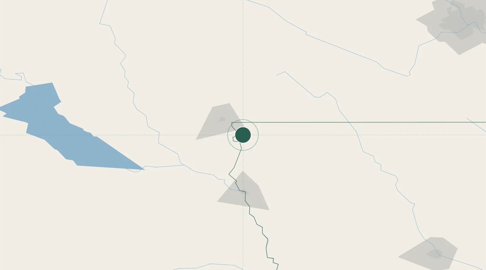
Hub Profile
Place type
Populated place
Region
Iowa
Population
811
Time zone
America/Chicago
Elevation
447 m
Location
Nearby Logistics Neighbours
Cities
- 1Rock Valley17 km
- 2Harrisburg23 km
- 3Rowena24 km
- 4Hull29 km
- 5Brandon33 km
Ports
- 1Superior512 km
- 2Duluth513 km
- 3Two Harbors557 km
- 4Ashland570 km
- 5Washburn574 km
Airports
Trade Zones
- 1FTZ No. 288 Northwest Iowa34 km
- 2FTZ No. 220 Sioux Falls39 km
- 3FTZ No. 059 Lincoln282 km
- 4FTZ No. 107 Polk County288 km
- 5FTZ No. 119 Minneapolis-St. Paul314 km
DatabookThe Record of Consolidated Knowledge
United States beyond logistics?