Transport Functions
Port
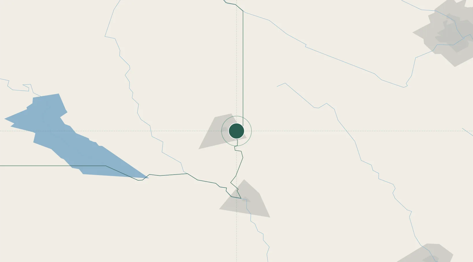
Hub Profile
Place type
Populated place
Region
South Dakota
Time zone
America/Chicago
Elevation
431 m
Location
Nearby Logistics Neighbours
Cities
- 1Brandon9 km
- 2Harrisburg16 km
- 3Inwood24 km
- 4Luverne32 km
- 5Hardwick41 km
Ports
- 1Superior502 km
- 2Duluth502 km
- 3Two Harbors546 km
- 4Ashland563 km
- 5Washburn566 km
Airports
Trade Zones
- 1FTZ No. 220 Sioux Falls20 km
- 2FTZ No. 288 Northwest Iowa55 km
- 3FTZ No. 059 Lincoln303 km
- 4FTZ No. 119 Minneapolis-St. Paul309 km
- 5FTZ No. 107 Polk County310 km
DatabookThe Record of Consolidated Knowledge
United States beyond logistics?