Transport Functions
Port
Multimodal
Hub Profile
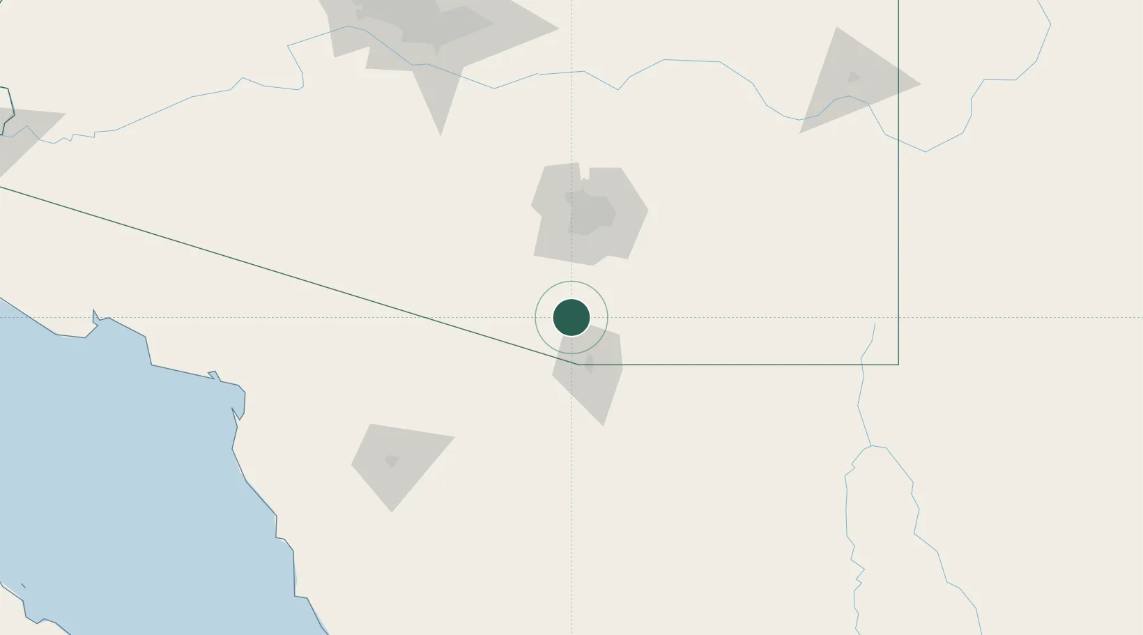
Place type
Populated place
Region
Arizona
Population
1,191
Time zone
America/Phoenix
Elevation
978 m
Location
Nearby Logistics Neighbours
Cities
- 1Green Valley29 km
- 2Sahuarita38 km
- 3Vail58 km
- 4Tucson International Apt60 km
- 5Tucson60 km
Ports
- 1Guaymas412 km
- 2Santa Rosalia491 km
- 3Isla San Marcos503 km
- 4Ensenada529 km
- 5Puerto Morro Redondo562 km
Airports
Trade Zones
- 1FTZ No. 060 Nogales32 km
- 2FTZ No. 139 Sierra Vista72 km
- 3FTZ No. 174 Pima County75 km
- 4FTZ No. 221 Mesa213 km
- 5FTZ No. 075 Phoenix225 km
DatabookThe Record of Consolidated Knowledge
United States beyond logistics?