Medium airport · United States
Waynesville-St. Robert Regional Airport-Forney FieldKTBN
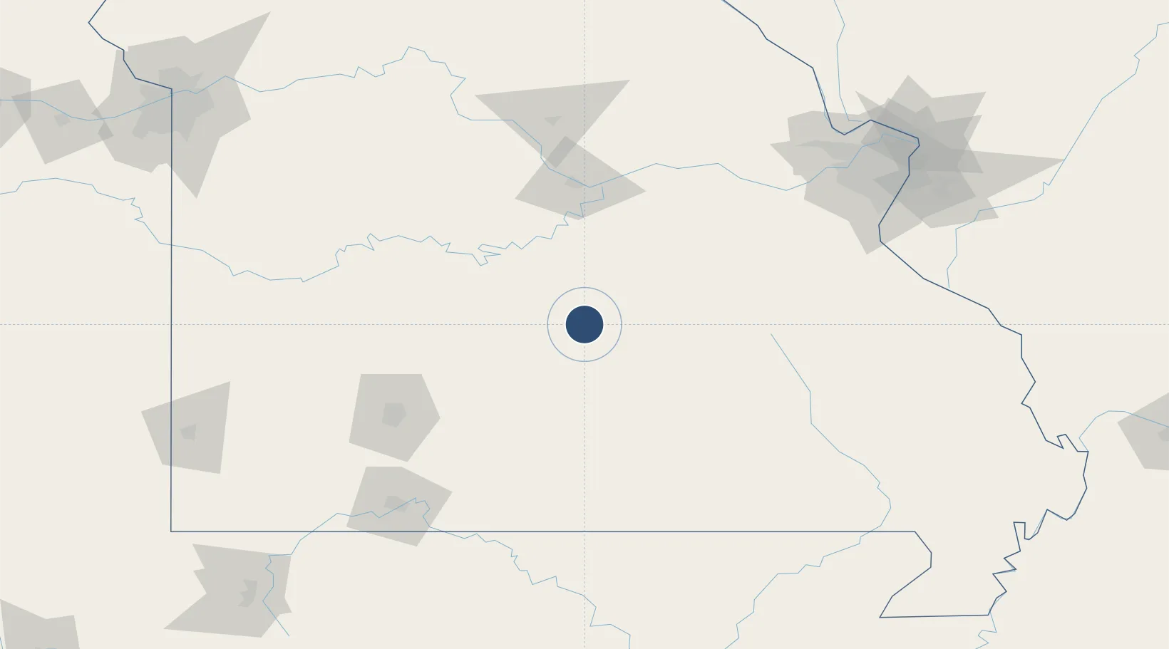
37.7416°, -92.1407°
6,037 ft
Longest runway
1
Runways
1,159 ft
Elevation
Runway & Layout

Radio Frequencies
ATIS
118.7 MHz
TWR
125.4 MHz
FORNEY TWR
CTAF
125.4 MHz
CNTR
133.8 MHz
KANSAS CITY CNTR
Navaids
BHN NDB Buckhorn 391 kHz
MAP VORTAC Maples 113.40 MHz
TBN VOR Forney 110.00 MHz
Runways · 1
| Runway | Dimensions | Surface | True heading | Lit |
|---|---|---|---|---|
| 15/33 | 6,037 × 150ft | Asphalt | 140° | ✓ |
Airport Specifications
IATA code
TBN
ICAO code
KTBN
Airport class
Medium airport
Scheduled service
Yes
Runway surface
Asphalt
Served city
Fort Leonard Wood
Location
Nearby Logistics Neighbours
Airports
- 1Columbia Regional Airport120 km
- 2Springfield Branson National Airport123 km
- 3Ozark Regional Airport155 km
- 4Branson Airport164 km
- 5Whiteman Air Force Base165 km
Cities
- 1Richland26 km
- 2Dixon27 km
- 3Saint James55 km
- 4Linn Creek59 km
- 5Cabool68 km
Ports
- 1Port Of Memphis346 km
- 2Indiana Harbor594 km
- 3Calumet Harbor594 km
- 4Gary596 km
- 5Chicago602 km
Trade Zones
- 1FTZ No. 225 Springfield108 km
- 2FTZ No. 102 St. Louis County161 km
- 3FTZ No. 031 Granite City202 km
- 4FTZ No. 015 Kansas City270 km
- 5FTZ No. 017 Kansas City280 km
DatabookThe Record of Consolidated Knowledge
United States beyond logistics?