UN/LOCODE hub · United States
USMF8
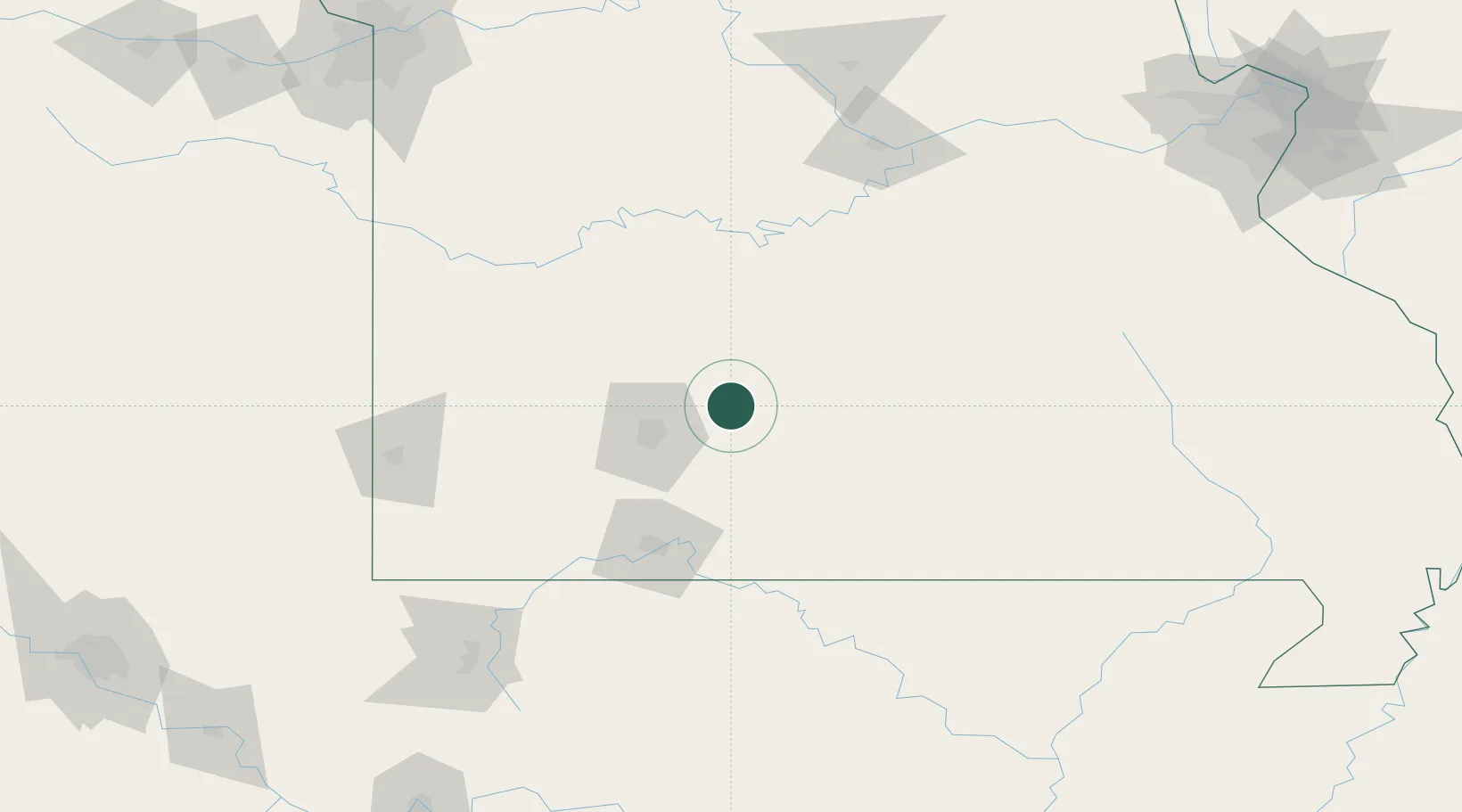
Marshfield
37.3333°, -92.9000°
7,138
Population
3
Transport functions
Transport Functions
Rail
Road
Multimodal
Hub Profile
Place type
Provincial seat
Region
Missouri
Population
7,138
Time zone
America/Chicago
Elevation
455 m
Location
Nearby Logistics Neighbours
Ports
- 1Port Of Memphis352 km
- 2Indiana Harbor672 km
- 3Calumet Harbor672 km
- 4Gary674 km
- 5Chicago680 km
Airports
Trade Zones
- 1FTZ No. 225 Springfield27 km
- 2FTZ No. 102 St. Louis County241 km
- 3FTZ No. 015 Kansas City242 km
- 4FTZ No. 017 Kansas City260 km
- 5FTZ No. 031 Granite City283 km
DatabookThe Record of Consolidated Knowledge
United States beyond logistics?