Foreign Trade Zone · United States

FTZ No. 102 St. Louis County Active

38.6437°, -90.7073°
400.6 km
Nearest port
5.2 km
Nearest airport

Gateway access

Nearest neighbours — logibook spatial index (haversine) over the source coordinates

Zone profile

Zone type
Foreign Trade Zone
Open Zone Map
Region
Missouri
Open Zone Map
Status
Active
Open Zone Map
Management
Public
Open Zone Map
Operator
St. Louis County Port Authority
Open Zone Map
Legal framework
Foreign-Trade Zones Act
Open Zone Map

Location

Location of ozm-4850
Natural Earth 10m (public domain) · Missouri · ozm-4850 · 38.64, -90.71GoogleOSMYandex

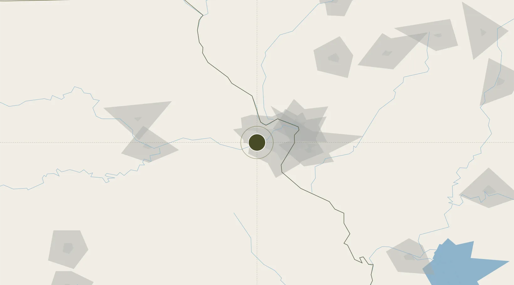
Nearby Logistics Neighbours

Ports
  1. 1Port Of Memphis401 km
  2. 2Indiana Harbor436 km
  3. 3Calumet Harbor438 km
  4. 4Gary438 km
  5. 5Chicago446 km
Nearest neighbours — logibook spatial index (haversine) over the source coordinates
Airports
  1. 1Spirit of St Louis Airport5 km
  2. 2St. Louis Lambert International Airport32 km
  3. 3St Louis Regional Airport64 km
  4. 4Scott AFB/Midamerica Airport77 km
  5. 5Columbia Regional Airport133 km
Nearest neighbours — logibook spatial index (haversine) over the source coordinates
Cities
  1. 1Defiance5 km
  2. 2Saint Albans10 km
  3. 3Augusta16 km
  4. 4Lake Saint Louis17 km
  5. 5Pacific18 km
Nearest neighbours — logibook spatial index (haversine) over the source coordinates
Trade Zones
  1. 1FTZ No. 031 Granite City45 km
  2. 2FTZ No. 245 Decatur196 km
  3. 3FTZ No. 055 Burlington243 km
  4. 4FTZ No. 114 Peoria247 km
  5. 5FTZ No. 294 Western Kentucky256 km
Nearest neighbours — logibook spatial index (haversine) over the source coordinates
DatabookThe Record of Consolidated Knowledge
United States beyond logistics?
Browse databook

All Sources

Trade ZonesOpen Zone Map
CC BY
Portsthe NGA World Port Index
Public domain (US gov)
AirportsOurAirports
Public domain
LocationsUN/LOCODE
UN/LOCODE — free
← United States trade zones