Transport Functions
Road
Multimodal
Hub Profile
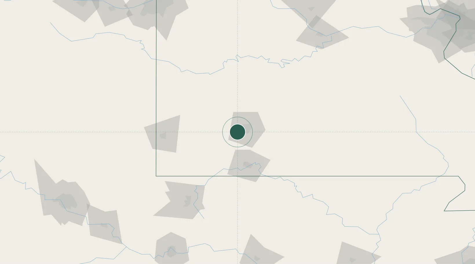
Place type
Populated place
Region
Missouri
Population
367
Time zone
America/Chicago
Elevation
391 m
Location
Nearby Logistics Neighbours
Cities
- 1Brookline Station2 km
- 2Republic6 km
- 3Billings15 km
- 4Willard17 km
- 5Marionville25 km
Ports
- 1Port Of Memphis373 km
- 2Calumet Harbor718 km
- 3Indiana Harbor718 km
- 4Gary721 km
- 5Chicago725 km
Airports
- 1Springfield Branson National Airport11 km
- 2Branson Airport71 km
- 3Joplin Regional Airport96 km
- 4Boone County Airport102 km
- 5Ozark Regional Airport121 km
Trade Zones
- 1FTZ No. 225 Springfield24 km
- 2FTZ No. 015 Kansas City228 km
- 3FTZ No. 053 Rogers County235 km
- 4FTZ No. 164 Muskogee240 km
- 5FTZ No. 017 Kansas City250 km
DatabookThe Record of Consolidated Knowledge
United States beyond logistics?