Transport Functions
Multimodal
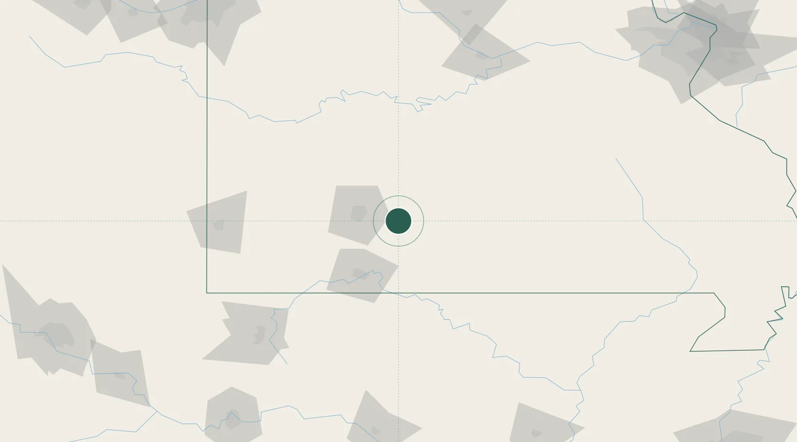
Hub Profile
Place type
Populated place
Region
Missouri
Population
815
Time zone
America/Chicago
Elevation
489 m
Location
Nearby Logistics Neighbours
Cities
- 1Marshfield22 km
- 2Niangua29 km
- 3Mansfield31 km
- 4Ava32 km
- 5Brookline Station43 km
Ports
- 1Port Of Memphis339 km
- 2Indiana Harbor691 km
- 3Calumet Harbor691 km
- 4Gary693 km
- 5Chicago699 km
Airports
Trade Zones
- 1FTZ No. 225 Springfield21 km
- 2FTZ No. 015 Kansas City256 km
- 3FTZ No. 102 St. Louis County258 km
- 4FTZ No. 164 Muskogee273 km
- 5FTZ No. 053 Rogers County275 km
DatabookThe Record of Consolidated Knowledge
United States beyond logistics?