Transport Functions
Rail
Road
Hub Profile
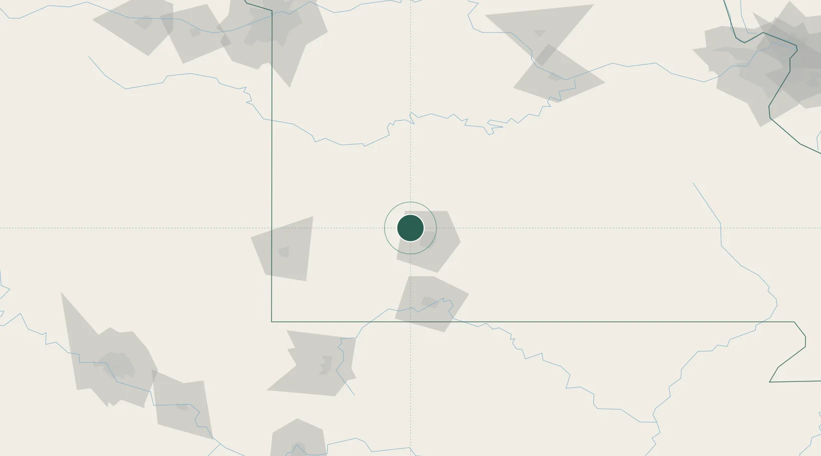
Place type
Populated place
Region
Missouri
Population
5,454
Time zone
America/Chicago
Elevation
377 m
Location
Nearby Logistics Neighbours
Cities
- 1Brookline17 km
- 2Brookline Station19 km
- 3Brighton19 km
- 4Republic21 km
- 5Billings28 km
Ports
- 1Port Of Memphis384 km
- 2Calumet Harbor707 km
- 3Indiana Harbor707 km
- 4Gary710 km
- 5Chicago714 km
Airports
Trade Zones
- 1FTZ No. 225 Springfield27 km
- 2FTZ No. 015 Kansas City214 km
- 3FTZ No. 017 Kansas City235 km
- 4FTZ No. 053 Rogers County241 km
- 5FTZ No. 164 Muskogee250 km
DatabookThe Record of Consolidated Knowledge
United States beyond logistics?