Transport Functions
Multimodal
Hub Profile
Region
MO
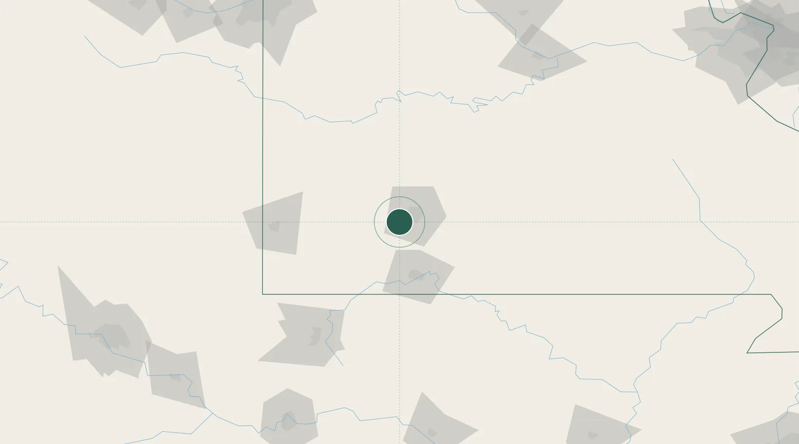
Location
Nearby Logistics Neighbours
Cities
- 1Brookline2 km
- 2Republic5 km
- 3Billings14 km
- 4Willard19 km
- 5Marionville24 km
Ports
- 1Port Of Memphis372 km
- 2Calumet Harbor720 km
- 3Indiana Harbor720 km
- 4Gary722 km
- 5Chicago726 km
Airports
- 1Springfield Branson National Airport13 km
- 2Branson Airport70 km
- 3Joplin Regional Airport96 km
- 4Boone County Airport100 km
- 5Ozark Regional Airport120 km
Trade Zones
- 1FTZ No. 225 Springfield24 km
- 2FTZ No. 015 Kansas City230 km
- 3FTZ No. 053 Rogers County234 km
- 4FTZ No. 164 Muskogee239 km
- 5FTZ No. 017 Kansas City252 km
DatabookThe Record of Consolidated Knowledge
United States beyond logistics?