UN/LOCODE hub · United States
USSD2
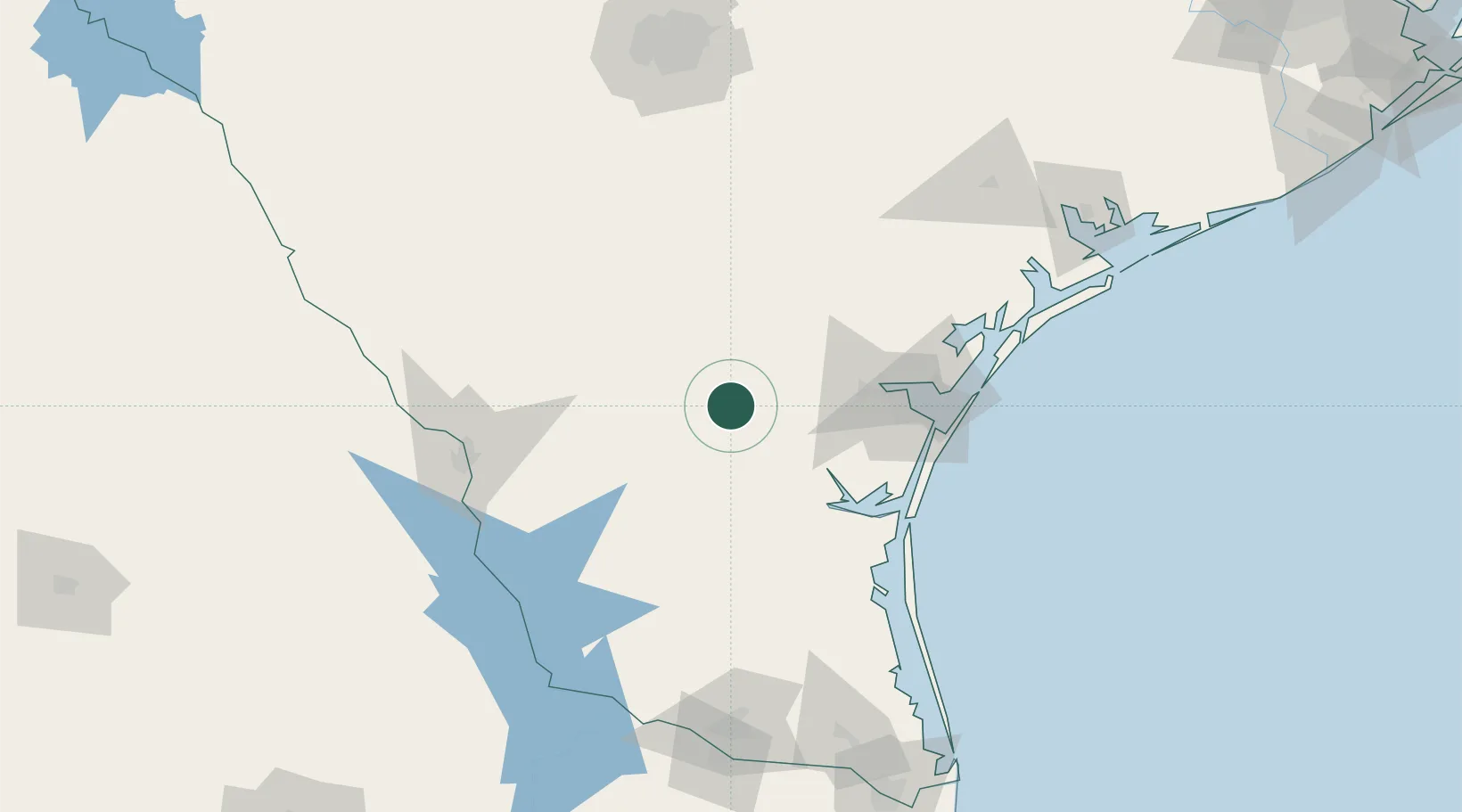
San Diego
27.7667°, -98.2333°
4,368
Population
2
Transport functions
Transport Functions
Rail
Road
Hub Profile
Place type
Provincial seat
Region
Texas
Population
4,368
Time zone
America/Chicago
Elevation
94 m
Location
Nearby Logistics Neighbours
Cities
- 1Premont48 km
- 2Mathis54 km
- 3Edroy59 km
- 4Odem67 km
- 5Hebbronville68 km
Ports
- 1Corpus Christi82 km
- 2Port Ingleside103 km
- 3Port Aransas117 km
- 4Rockport120 km
- 5Port Lavaca185 km
Airports
Trade Zones
- 1FTZ No. 122 Corpus Christi82 km
- 2FTZ No. 094 Laredo124 km
- 3FTZ No. 095 Starr County165 km
- 4FTZ No. 012 McAllen180 km
- 5FTZ No. 156 Weslaco180 km
DatabookThe Record of Consolidated Knowledge
United States beyond logistics?