UN/LOCODE hub · United States
USQTN
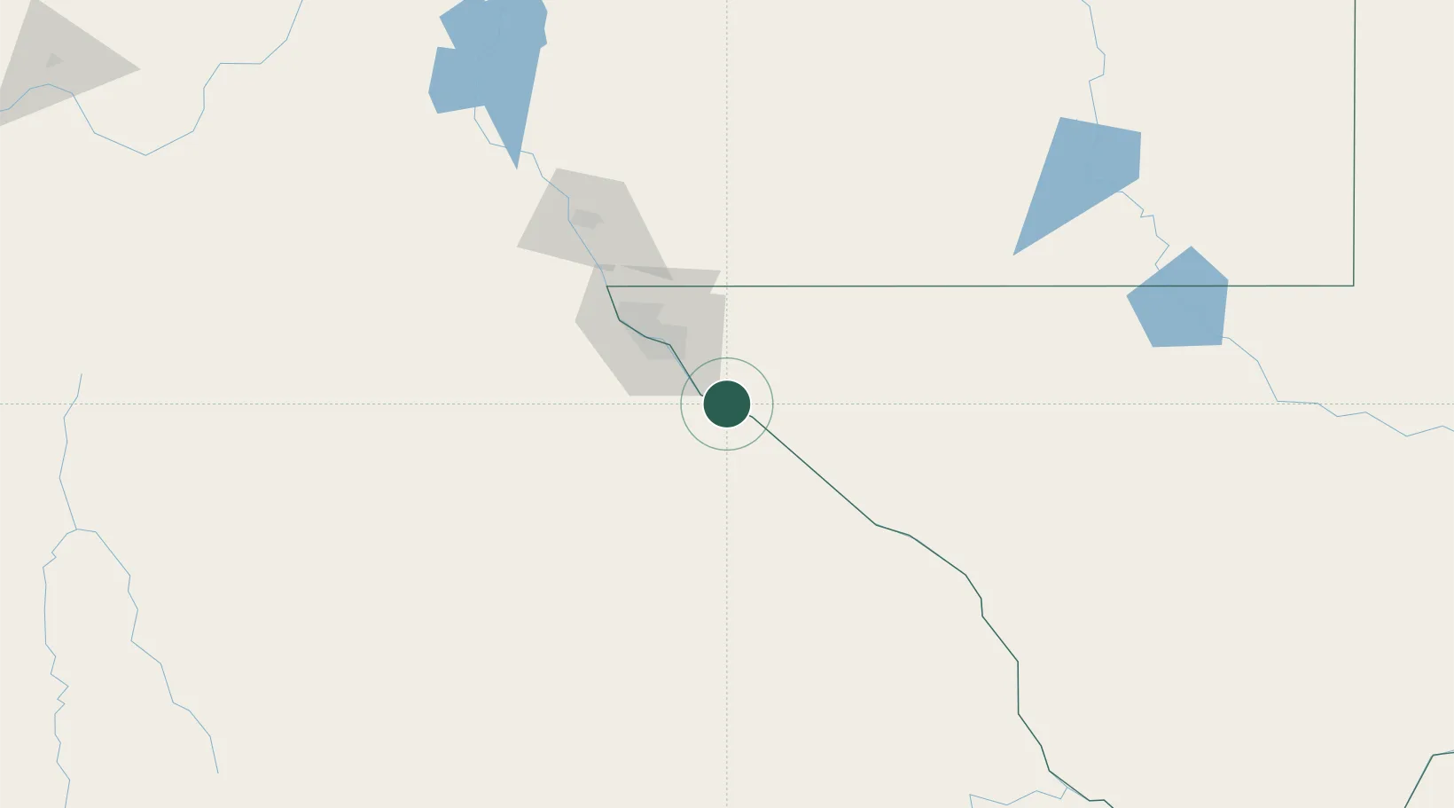
Tornillo
31.4333°, -106.0833°
1,568
Population
4
Transport functions
Transport Functions
Port
Rail
Road
Multimodal
Hub Profile
Place type
Populated place
Region
Texas
Population
1,568
Time zone
America/Denver
Elevation
1,093 m
Location
Nearby Logistics Neighbours
Cities
- 1Fabens10 km
- 2Socorro32 km
- 3Fort Bliss52 km
- 4Canutillo74 km
- 5Radium Springs143 km
Ports
- 1Guaymas609 km
- 2Topolobampo711 km
- 3Isla San Marcos751 km
- 4Santa Rosalia754 km
- 5Pichilingue900 km
Airports
Trade Zones
- 1FTZ No. 068 El Paso51 km
- 2FTZ No. 150 El Paso51 km
- 3FTZ No. 197 Dona Ana County164 km
- 4FTZ No. 165 Midland374 km
- 5FTZ No. 166 Homestead374 km
DatabookThe Record of Consolidated Knowledge
United States beyond logistics?