Transport Functions
Rail
Road
Border Crossing
Hub Profile
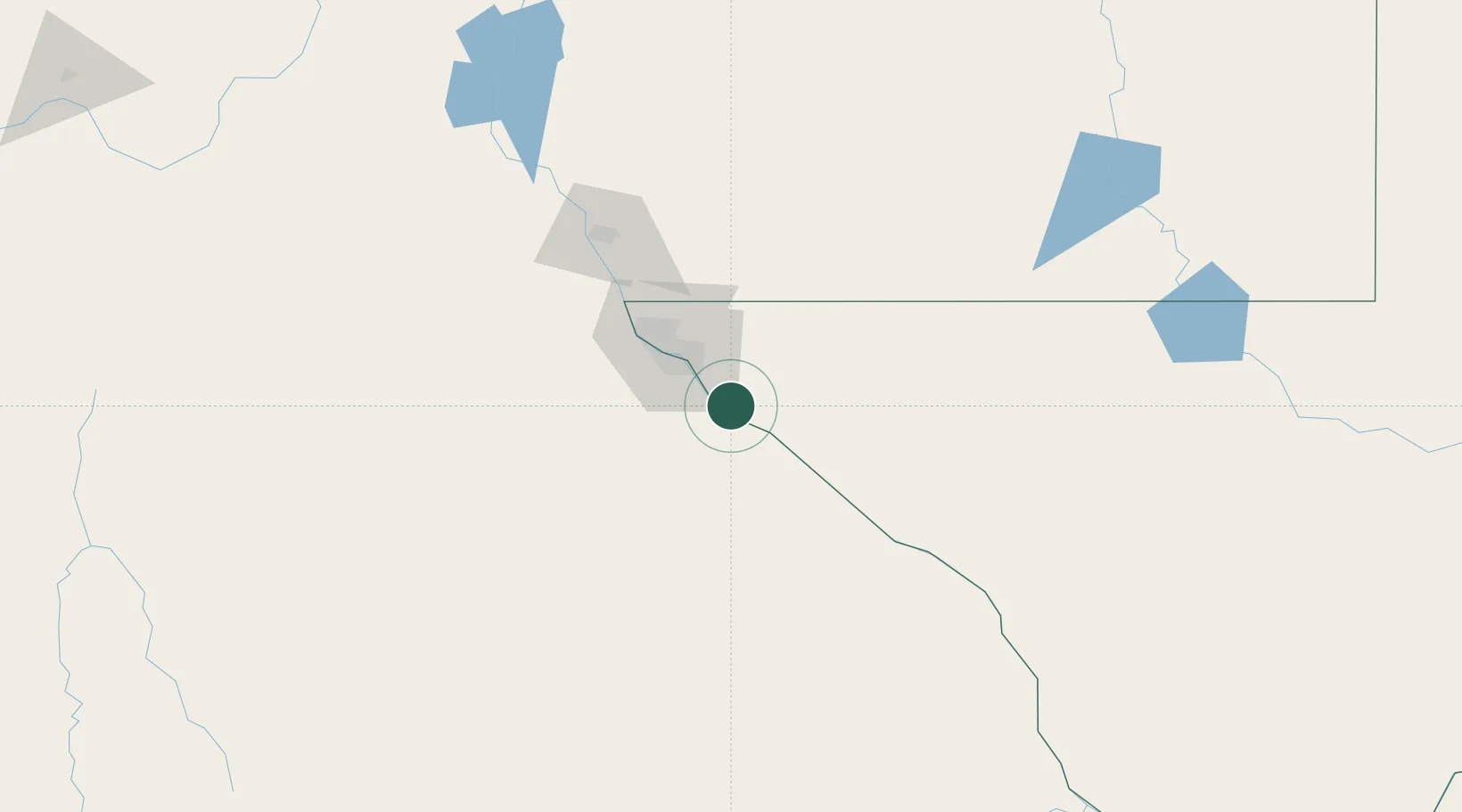
Place type
Populated place
Region
Texas
Population
8,257
Time zone
America/Denver
Elevation
1,102 m
Location
Nearby Logistics Neighbours
Cities
- 1Tornillo10 km
- 2Socorro22 km
- 3Fort Bliss42 km
- 4Canutillo64 km
- 5Radium Springs134 km
Ports
- 1Guaymas609 km
- 2Topolobampo715 km
- 3Isla San Marcos750 km
- 4Santa Rosalia753 km
- 5Pichilingue903 km
Airports
Trade Zones
- 1FTZ No. 068 El Paso41 km
- 2FTZ No. 150 El Paso41 km
- 3FTZ No. 197 Dona Ana County155 km
- 4FTZ No. 165 Midland379 km
- 5FTZ No. 166 Homestead379 km
DatabookThe Record of Consolidated Knowledge
United States beyond logistics?