Medium airport · United States
Holloman Air Force BaseKHMN
32.8525°, -106.1070°
12,922 ft
Longest runway
3
Runways
4,093 ft
Elevation
Runway & Layout

Radio Frequencies
ATIS
27.35 MHz
TWR
119.3 MHz
GND
127.05 MHz
CLD
126.7 MHz
CLNC DEL
CLD
126.9 MHz
CHEROKEE MISSION
APP
120.6 MHz
DEP
128.1 MHz
A/G
22.93 MHz
ARMY AVIATION
PMSV
34.655 MHz
PMSV METRO
POST
38.13 MHz
COMD POST
PTD
37.22 MHz
Navaids
HMN TACAN Holloman 114.50 MHz
Runways · 3
| Runway | Dimensions | Surface | True heading | Lit |
|---|---|---|---|---|
| 07/25 | 12,922 × 150ft | Asphalt / concrete | 080° | ✓ |
| 16/34 | 12,134 × 150ft | Asphalt / concrete | 168° | ✓ |
| 04/22 | 10,578 × 300ft | Asphalt / concrete | 048° | ✓ |
Airport Specifications
IATA code
HMN
ICAO code
KHMN
Airport class
Medium airport
Scheduled service
No
Runway surface
Asphalt / concrete
Served city
Alamogordo
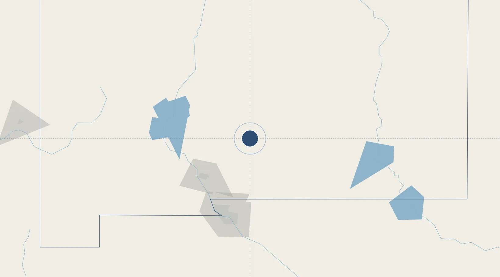
Location
Nearby Logistics Neighbours
Airports
Cities
- 1Holloman Air Force Base4 km
- 2Radium Springs87 km
- 3Rincon92 km
- 4Hatch100 km
- 5Canutillo115 km
Ports
- 1Guaymas717 km
- 2Santa Rosalia854 km
- 3Isla San Marcos854 km
- 4Topolobampo856 km
- 5Ensenada994 km
Trade Zones
- 1FTZ No. 068 El Paso118 km
- 2FTZ No. 150 El Paso118 km
- 3FTZ No. 197 Dona Ana County129 km
- 4FTZ No. 110 Albuquerque256 km
- 5FTZ No. 165 Midland379 km
DatabookThe Record of Consolidated Knowledge
United States beyond logistics?