UN/LOCODE hub · United States
USYFB
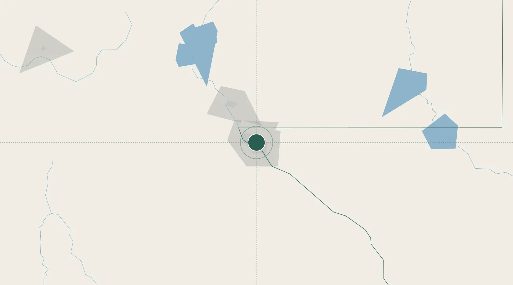
Fort Bliss
31.8000°, -106.4167°
8,591
Population
2
Transport functions
Transport Functions
Rail
Road
Hub Profile
Place type
Populated place
Region
Texas
Population
8,591
Time zone
America/Denver
Elevation
1,186 m
Location
Nearby Logistics Neighbours
Cities
- 1Socorro20 km
- 2Canutillo23 km
- 3Fabens42 km
- 4Tornillo52 km
- 5Radium Springs92 km
Ports
- 1Guaymas612 km
- 2Topolobampo736 km
- 3Isla San Marcos752 km
- 4Santa Rosalia754 km
- 5Pichilingue921 km
Airports
Trade Zones
- 1FTZ No. 068 El Paso5 km
- 2FTZ No. 150 El Paso5 km
- 3FTZ No. 197 Dona Ana County114 km
- 4FTZ No. 110 Albuquerque367 km
- 5FTZ No. 139 Sierra Vista368 km
DatabookThe Record of Consolidated Knowledge
United States beyond logistics?