Large airport · Mexico

Abraham González International AirportMMCS

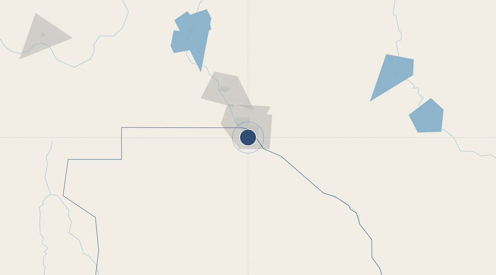
31.6367°, -106.4285°
8,858 ft
Longest runway
2
Runways
3,904 ft
Elevation

Runway & Layout

Abraham González International Airport runway & taxiway layout
Runway & taxiway layout — OpenStreetMap (ODbL) / OurAirports

Radio Frequencies

TWR
118.9 MHz
JUAREZ TWR
APP
119.9 MHz
JUAREZ APP
OurAirports

Navaids

CJS VOR-DME Juarez 116.70 MHz
OurAirports

Runways · 2

RunwayDimensions SurfaceTrue headingLit
03/21 8,858 × 148ft Asphalt 038°
14/32 5,741 × 98ft Asphalt 156°
OurAirports

Airport Specifications

IATA code
CJS
OurAirports
ICAO code
MMCS
OurAirports
Airport class
Large airport
OurAirports
Scheduled service
Yes
OurAirports
Runway surface
Asphalt
OurAirports
Served city
Ciudad Juárez
OurAirports

Location

Location of MMCS
Natural Earth 10m (public domain) · Chihuahua · MMCS · 31.64, -106.43GoogleOSMYandex

Nearby Logistics Neighbours

Airports
  1. 1El Paso International Airport20 km
  2. 2Biggs Army Air Field (Fort Bliss)24 km
  3. 3Las Cruces International Airport86 km
  4. 4Holloman Air Force Base139 km
  5. 5Alamogordo White Sands Regional Airport140 km
Nearest neighbours — logibook spatial index (haversine) over the source coordinates
Cities
  1. 1Socorro12 km
  2. 2Fort Bliss18 km
  3. 3Fabens31 km
  4. 4Canutillo36 km
  5. 5Tornillo40 km
Nearest neighbours — logibook spatial index (haversine) over the source coordinates
Ports
  1. 1Guaymas599 km
  2. 2Topolobampo719 km
  3. 3Isla San Marcos739 km
  4. 4Santa Rosalia742 km
  5. 5Pichilingue905 km
Nearest neighbours — logibook spatial index (haversine) over the source coordinates
Trade Zones
  1. 1FTZ No. 068 El Paso21 km
  2. 2FTZ No. 150 El Paso21 km
  3. 3FTZ No. 197 Dona Ana County125 km
  4. 4FTZ No. 139 Sierra Vista366 km
  5. 5FTZ No. 110 Albuquerque385 km
Nearest neighbours — logibook spatial index (haversine) over the source coordinates
DatabookThe Record of Consolidated Knowledge
Mexico beyond logistics?
Browse databook

All Sources

AirportsOurAirports
Public domain
Portsthe NGA World Port Index
Public domain (US gov)
LocationsUN/LOCODE
UN/LOCODE — free
Trade Zonesthe World Bank SEZ database
CC BY 4.0
Trade ZonesOpen Zone Map
CC BY
InfrastructureOpenStreetMap
ODbL 1.0
← Mexico airports