UN/LOCODE hub · United States
USEMZ
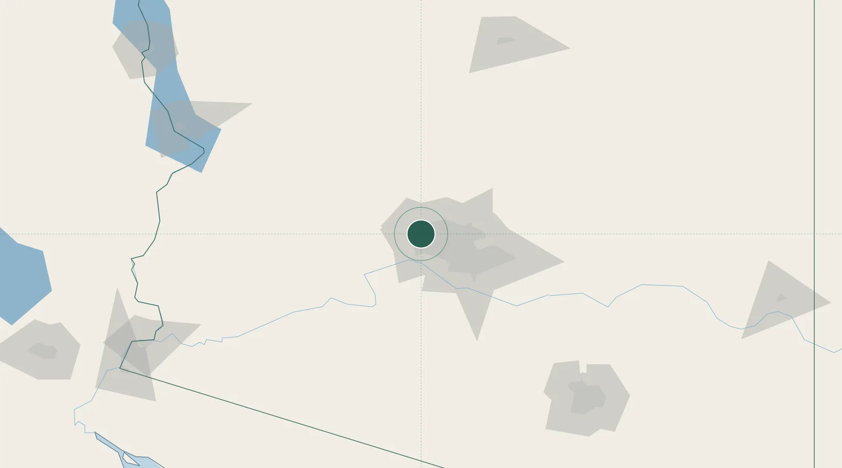
El Mirage
33.6167°, -112.3167°
33,935
Population
3
Transport functions
Transport Functions
Rail
Road
Multimodal
Hub Profile
Place type
Populated place
Region
Arizona
Population
33,935
Time zone
America/Phoenix
Elevation
349 m
Location
Nearby Logistics Neighbours
Cities
- 1Litchfield Park14 km
- 2Paradise Valley35 km
- 3New River37 km
- 4Scottsdale42 km
- 5Cave Creek43 km
Ports
- 1Ensenada448 km
- 2San Diego464 km
- 3Rosarito467 km
- 4Newport Beach517 km
- 5Long Beach543 km
Airports
Trade Zones
- 1FTZ No. 277 Western Maricopa County11 km
- 2FTZ No. 075 Phoenix29 km
- 3FTZ No. 221 Mesa50 km
- 4FTZ No. 174 Pima County196 km
- 5FTZ No. 219 Yuma236 km
DatabookThe Record of Consolidated Knowledge
United States beyond logistics?