Medium airport · United States
Mesa Gateway AirportKIWA
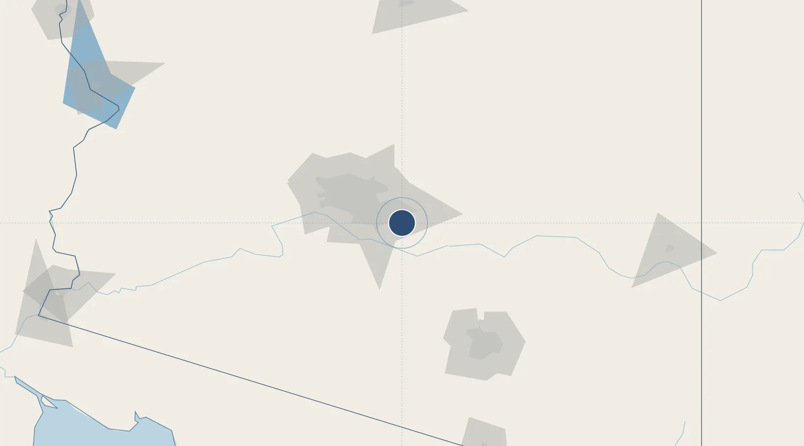
33.3078°, -111.6550°
10,401 ft
Longest runway
3
Runways
1,382 ft
Elevation
Runway & Layout

Radio Frequencies
ATIS
133.5 MHz
AWOS
133.5 MHz
AWOS 3
TWR
118.8 MHz
GATEWAY TWR
GND
128.25 MHz
GATEWAY GND
CLD
128.25 MHz
CLNC DEL
CTAF
120.6 MHz
A/D
124.9 MHz
PHOENIX APP/DEP
Navaids
IWA VORTAC Willie 113.30 MHz
Runways · 3
| Runway | Dimensions | Surface | True heading | Lit |
|---|---|---|---|---|
| 12R/30L | 10,401 × 150ft | Concrete | 136° | ✓ |
| 12C/30C | 10,201 × 150ft | Asphalt / concrete | 136° | ✓ |
| 12L/30R | 9,300 × 150ft | Concrete | 136° | ✓ |
Airport Specifications
IATA code
AZA
ICAO code
KIWA
Airport class
Medium airport
Scheduled service
Yes
Runway surface
Concrete
Served city
Mesa
Location
Nearby Logistics Neighbours
Airports
Cities
- 1Higley6 km
- 2Magma24 km
- 3Scottsdale30 km
- 4Paradise Valley37 km
- 5Coolidge40 km
Ports
- 1Ensenada493 km
- 2Rosarito519 km
- 3San Diego520 km
- 4Newport Beach580 km
- 5Guaymas604 km
Trade Zones
- 1FTZ No. 221 Mesa20 km
- 2FTZ No. 075 Phoenix42 km
- 3FTZ No. 277 Western Maricopa County62 km
- 4FTZ No. 174 Pima County132 km
- 5FTZ No. 060 Nogales228 km
DatabookThe Record of Consolidated Knowledge
United States beyond logistics?