UN/LOCODE hub · United States
USSTZ
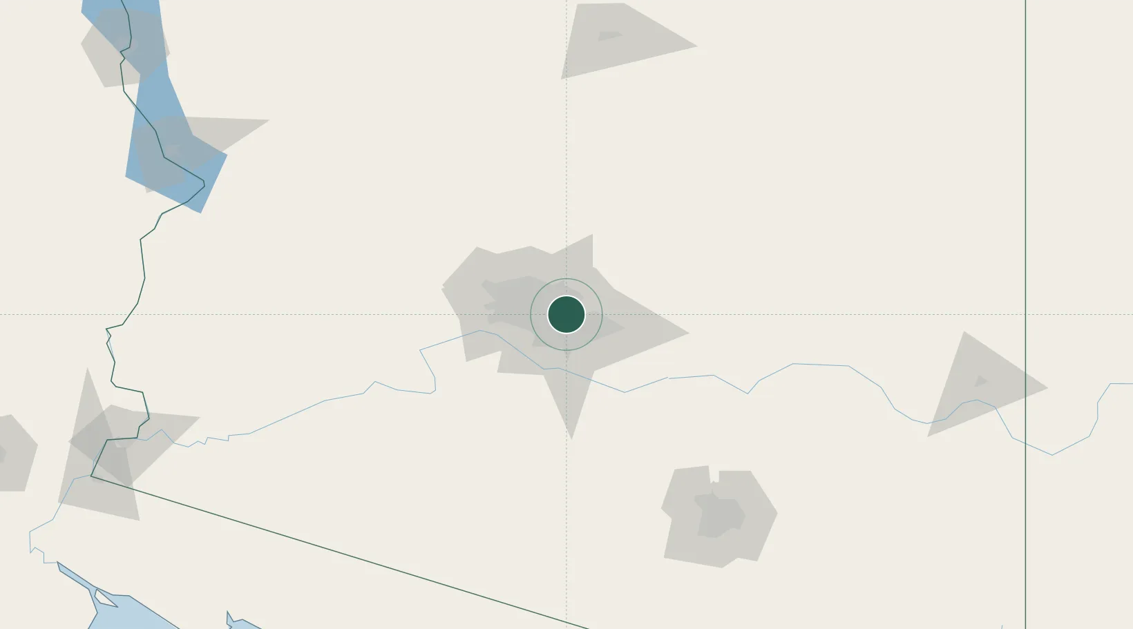
Scottsdale
33.5000°, -111.8833°
236,839
Population
3
Transport functions
Transport Functions
Port
Road
Multimodal
Hub Profile
Place type
Populated place
Region
Arizona
Population
236,839
Time zone
America/Phoenix
Elevation
383 m
Location
Nearby Logistics Neighbours
Cities
- 1Paradise Valley7 km
- 2Higley27 km
- 3Cave Creek37 km
- 4El Mirage42 km
- 5Litchfield Park45 km
Ports
- 1Ensenada480 km
- 2San Diego501 km
- 3Rosarito503 km
- 4Newport Beach558 km
- 5Long Beach584 km
Airports
Trade Zones
- 1FTZ No. 221 Mesa11 km
- 2FTZ No. 075 Phoenix19 km
- 3FTZ No. 277 Western Maricopa County35 km
- 4FTZ No. 174 Pima County161 km
- 5FTZ No. 060 Nogales256 km
DatabookThe Record of Consolidated Knowledge
United States beyond logistics?