Transport Functions
Road
Multimodal
Hub Profile
Place type
Populated place
Region
Arizona
Time zone
America/Phoenix
Elevation
396 m
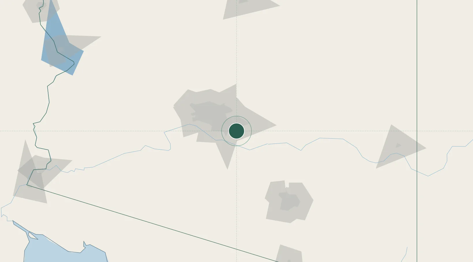
Location
Nearby Logistics Neighbours
Cities
- 1Scottsdale27 km
- 2Magma27 km
- 3Paradise Valley34 km
- 4Maricopa40 km
- 5Coolidge42 km
Ports
- 1Ensenada487 km
- 2Rosarito514 km
- 3San Diego514 km
- 4Newport Beach575 km
- 5Long Beach602 km
Airports
Trade Zones
- 1FTZ No. 221 Mesa17 km
- 2FTZ No. 075 Phoenix37 km
- 3FTZ No. 277 Western Maricopa County57 km
- 4FTZ No. 174 Pima County134 km
- 5FTZ No. 060 Nogales229 km
DatabookThe Record of Consolidated Knowledge
United States beyond logistics?