UN/LOCODE hub · United States
USIEL
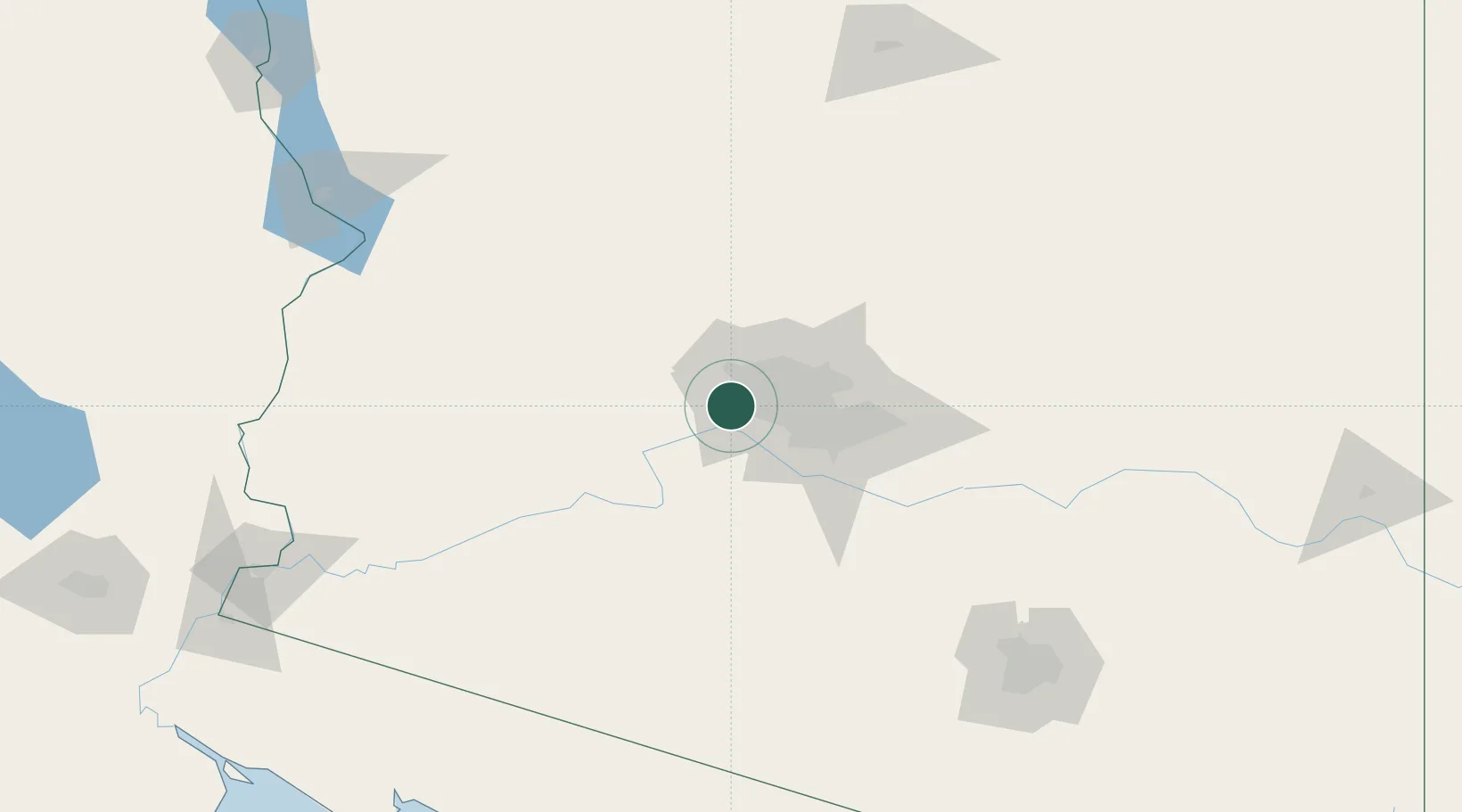
Litchfield Park
33.5000°, -112.3667°
5,533
Population
2
Transport functions
Transport Functions
Road
Multimodal
Hub Profile
Place type
Populated place
Region
Arizona
Population
5,533
Time zone
America/Phoenix
Elevation
314 m
Location
Nearby Logistics Neighbours
Cities
- 1El Mirage14 km
- 2Paradise Valley39 km
- 3Scottsdale45 km
- 4New River51 km
- 5Cave Creek55 km
Ports
- 1Ensenada439 km
- 2San Diego457 km
- 3Rosarito459 km
- 4Newport Beach513 km
- 5Long Beach539 km
Airports
Trade Zones
- 1FTZ No. 277 Western Maricopa County10 km
- 2FTZ No. 075 Phoenix28 km
- 3FTZ No. 221 Mesa51 km
- 4FTZ No. 174 Pima County189 km
- 5FTZ No. 219 Yuma227 km
DatabookThe Record of Consolidated Knowledge
United States beyond logistics?