Transport Functions
Road
Multimodal
Hub Profile
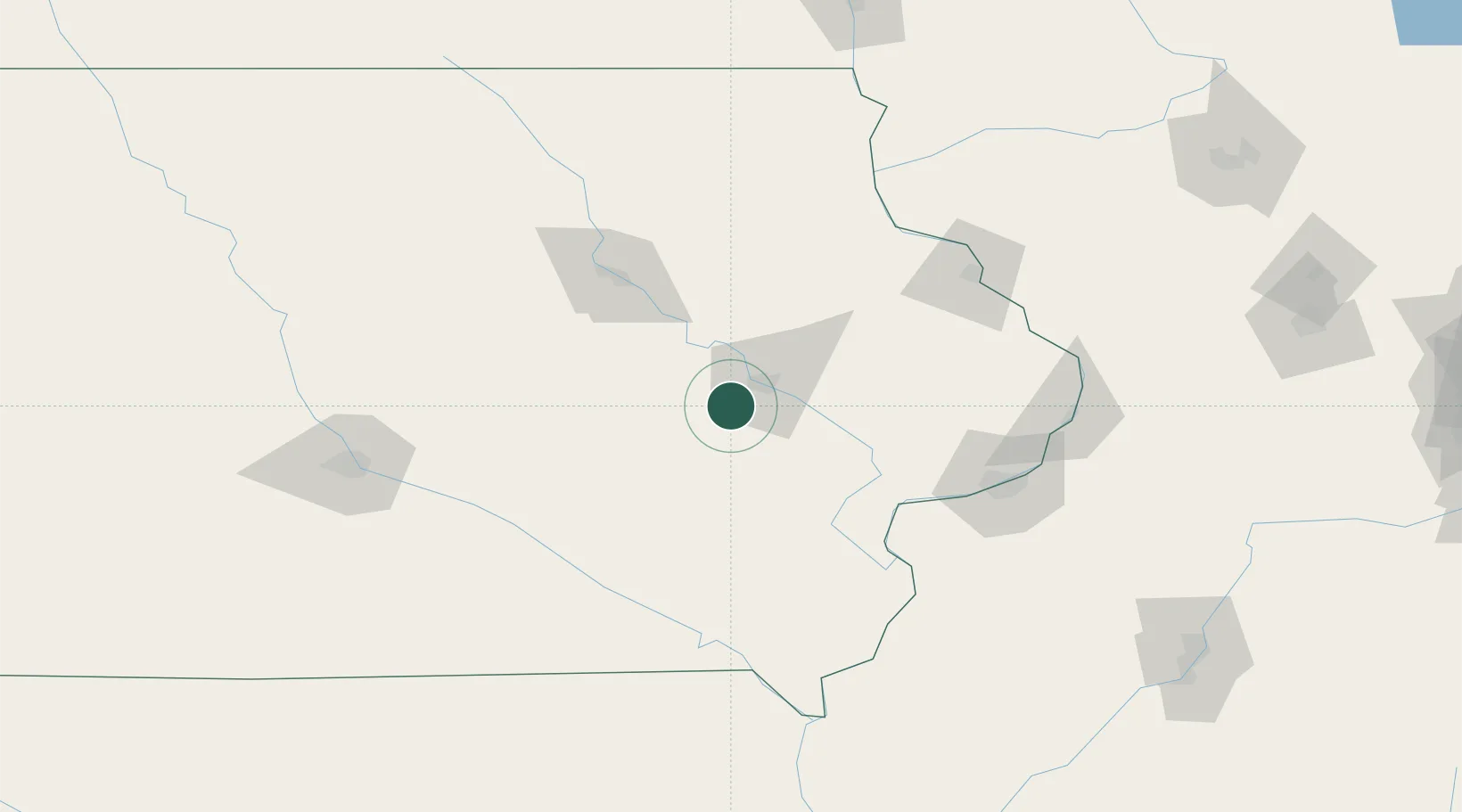
Place type
Populated place
Region
Iowa
Population
1,459
Time zone
America/Chicago
Elevation
245 m
Location
Nearby Logistics Neighbours
Cities
- 1Norway7 km
- 2Hiawatha21 km
- 3Blairstown21 km
- 4Conroy23 km
- 5Williamsburg29 km
Ports
- 1Great Lakes333 km
- 2Waukegan336 km
- 3Kenosha340 km
- 4Wilmette344 km
- 5Racine346 km
Airports
- 1The Eastern Iowa Airport10 km
- 2Waterloo Regional Airport88 km
- 3Ottumwa Regional Airport101 km
- 4Dubuque Regional Airport109 km
- 5Quad City International Airport120 km
Trade Zones
DatabookThe Record of Consolidated Knowledge
United States beyond logistics?