Transport Functions
Road
Multimodal
Hub Profile
Place type
Populated place
Region
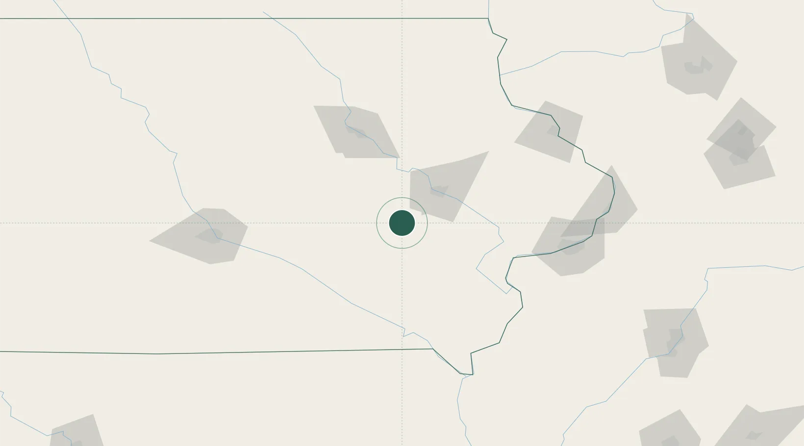
Iowa
Population
259
Time zone
America/Chicago
Elevation
268 m
Location
Nearby Logistics Neighbours
Cities
- 1Williamsburg6 km
- 2Norway22 km
- 3Walford23 km
- 4Blairstown23 km
- 5Keswick35 km
Ports
- 1Great Lakes350 km
- 2Waukegan353 km
- 3Kenosha358 km
- 4Wilmette360 km
- 5Racine365 km
Airports
Trade Zones
- 1FTZ No. 175 Cedar Rapids32 km
- 2FTZ No. 055 Burlington126 km
- 3FTZ No. 107 Polk County142 km
- 4FTZ No. 271 Jo-Daviess and Carroll Counties160 km
- 5FTZ No. 114 Peoria231 km
DatabookThe Record of Consolidated Knowledge
United States beyond logistics?