UN/LOCODE hub · United States
USQWN
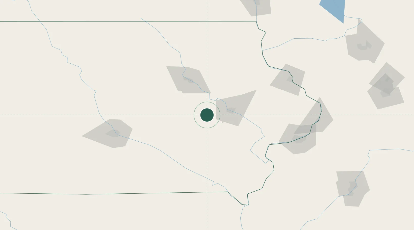
Blairstown
41.9167°, -92.0833°
670
Population
2
Transport functions
Transport Functions
Rail
Road
Hub Profile
Place type
Populated place
Region
Iowa
Population
670
Time zone
America/Chicago
Elevation
256 m
Location
Nearby Logistics Neighbours
Cities
- 1Norway14 km
- 2Walford21 km
- 3Conroy23 km
- 4Williamsburg28 km
- 5Brooklyn35 km
Ports
- 1Great Lakes353 km
- 2Waukegan355 km
- 3Kenosha359 km
- 4Wilmette364 km
- 5Racine365 km
Airports
- 1The Eastern Iowa Airport31 km
- 2Waterloo Regional Airport76 km
- 3Ottumwa Regional Airport95 km
- 4Dubuque Regional Airport125 km
- 5Northeast Iowa Regional Airport136 km
Trade Zones
- 1FTZ No. 175 Cedar Rapids24 km
- 2FTZ No. 107 Polk County138 km
- 3FTZ No. 055 Burlington148 km
- 4FTZ No. 271 Jo-Daviess and Carroll Counties158 km
- 5FTZ No. 266 Dane County233 km
DatabookThe Record of Consolidated Knowledge
United States beyond logistics?