Transport Functions
Rail
Road
Hub Profile
Place type
Populated place
Region
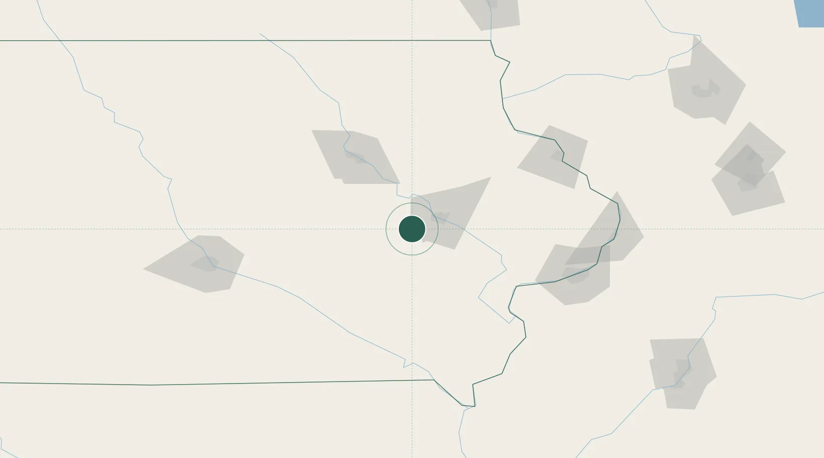
Iowa
Population
526
Time zone
America/Chicago
Elevation
247 m
Location
Nearby Logistics Neighbours
Cities
- 1Walford7 km
- 2Blairstown14 km
- 3Conroy22 km
- 4Hiawatha24 km
- 5Williamsburg27 km
Ports
- 1Great Lakes340 km
- 2Waukegan342 km
- 3Kenosha346 km
- 4Wilmette350 km
- 5Racine352 km
Airports
- 1The Eastern Iowa Airport17 km
- 2Waterloo Regional Airport83 km
- 3Ottumwa Regional Airport99 km
- 4Dubuque Regional Airport114 km
- 5Quad City International Airport127 km
Trade Zones
- 1FTZ No. 175 Cedar Rapids12 km
- 2FTZ No. 055 Burlington139 km
- 3FTZ No. 271 Jo-Daviess and Carroll Counties146 km
- 4FTZ No. 107 Polk County151 km
- 5FTZ No. 266 Dane County223 km
DatabookThe Record of Consolidated Knowledge
United States beyond logistics?