UN/LOCODE hub · United States
USLKJ

Lackland City

29.3833°, -98.6500°
2
Transport functions

Transport Functions

Road
Multimodal
UN/LOCODE

Hub Profile

Place type
Urban district
GeoNames
Region
Texas
GeoNames
Time zone
America/Chicago
GeoNames
Elevation
237 m
GeoNames

Location

Location of USLKJ
Natural Earth 10m (public domain) · Texas · USLKJ · 29.38, -98.65GoogleOSMYandex

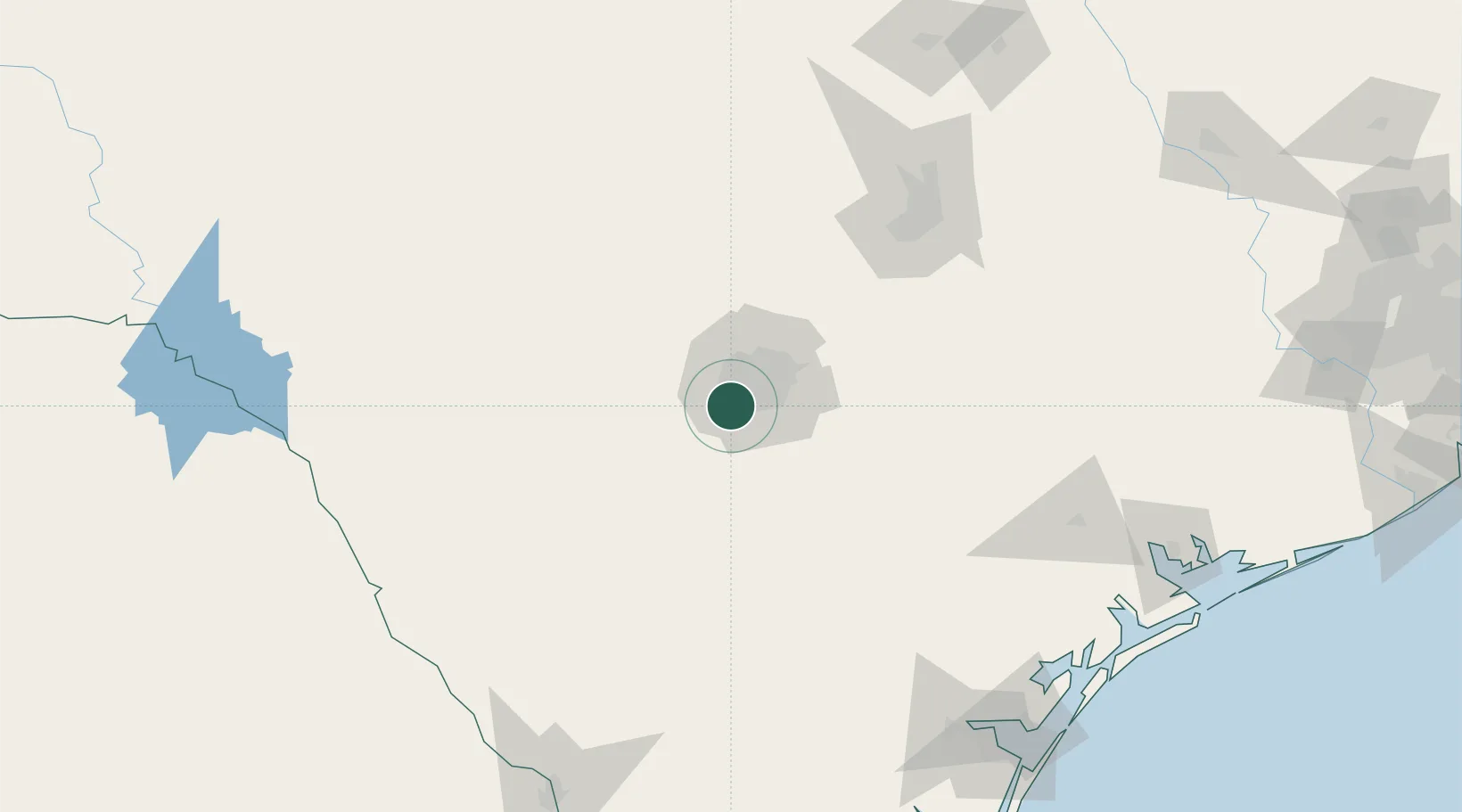
Nearby Logistics Neighbours

Cities
  1. 1Von Ormy14 km
  2. 2Castle Hills21 km
  3. 3Elmendorf36 km
  4. 4Schertz42 km
  5. 5Cibolo45 km
Nearest neighbours — logibook spatial index (haversine) over the source coordinates
Ports
  1. 1Corpus Christi213 km
  2. 2Port Lavaca215 km
  3. 3Rockport218 km
  4. 4Port Ingleside226 km
  5. 5Port Aransas233 km
Nearest neighbours — logibook spatial index (haversine) over the source coordinates
Airports
  1. 1Lackland Air Force Base7 km
  2. 2Stinson Municipal Airport18 km
  3. 3San Antonio International Airport24 km
  4. 4Randolph Air Force Base39 km
  5. 5New Braunfels National Airport69 km
Nearest neighbours — logibook spatial index (haversine) over the source coordinates
Trade Zones
  1. 1FTZ No. 080 San Antonio18 km
  2. 2FTZ No. 183 Austin132 km
  3. 3FTZ No. 096 Eagle Pass196 km
  4. 4FTZ No. 122 Corpus Christi213 km
  5. 5FTZ No. 094 Laredo219 km
Nearest neighbours — logibook spatial index (haversine) over the source coordinates
DatabookThe Record of Consolidated Knowledge
United States beyond logistics?
Browse databook

All Sources

LocationsUN/LOCODE
UN/LOCODE — free
Portsthe NGA World Port Index
Public domain (US gov)
AirportsOurAirports
Public domain
Trade Zonesthe World Bank SEZ database
CC BY 4.0
Trade ZonesOpen Zone Map
CC BY
← United States locations