UN/LOCODE hub · United States
USZJE
Von Ormy
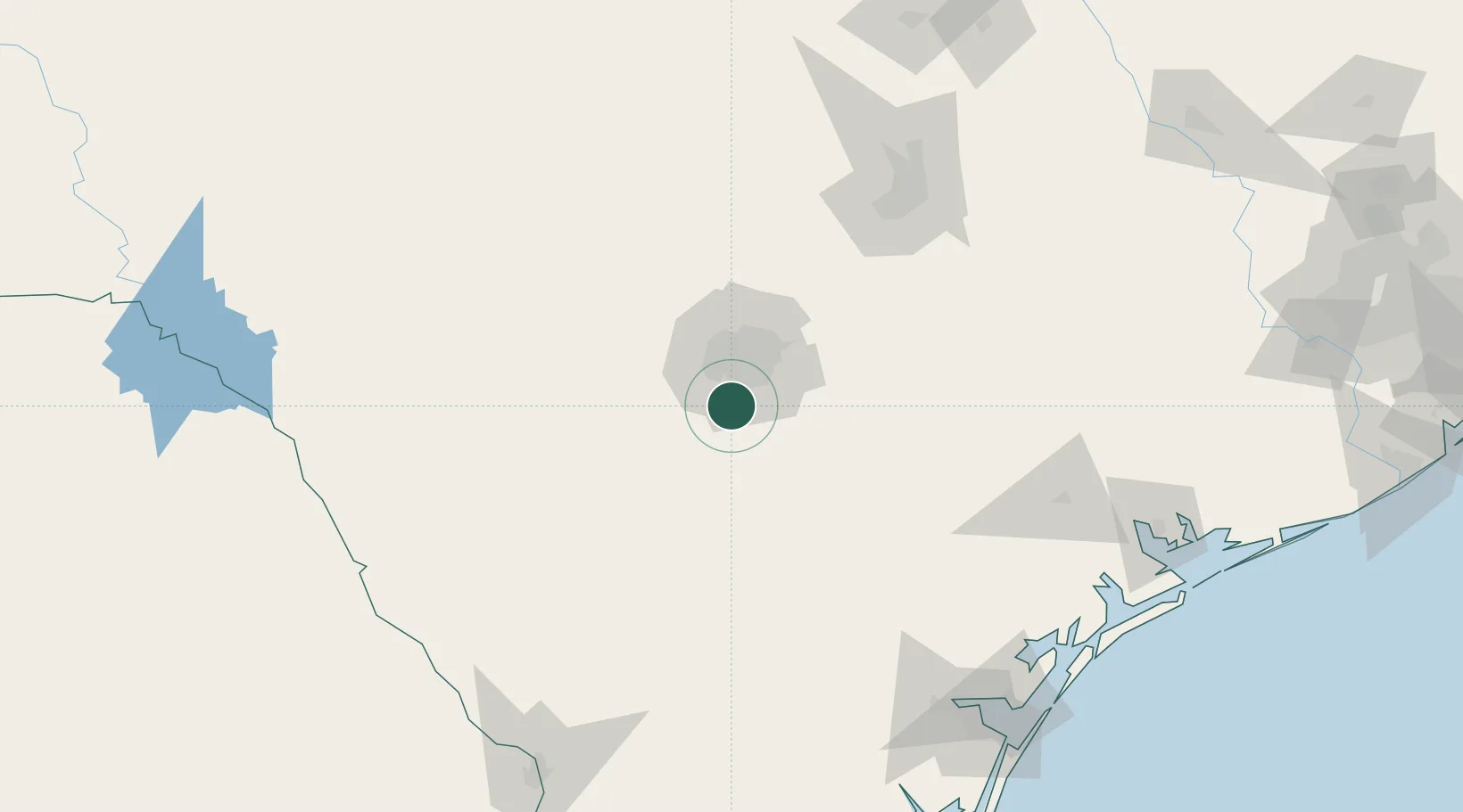
29.2780°, -98.5762°
1,175
Population
1
Transport functions
Transport Functions
Multimodal
Hub Profile
Place type
Populated place
Region
Texas
Population
1,175
Time zone
America/Chicago
Elevation
180 m
Logistics facilities
1
Location
Nearby Logistics Neighbours
Cities
- 1Lackland City14 km
- 2Elmendorf25 km
- 3Castle Hills28 km
- 4Pleasanton36 km
- 5Schertz43 km
Ports
- 1Corpus Christi199 km
- 2Port Lavaca204 km
- 3Rockport205 km
- 4Port Ingleside212 km
- 5Port Aransas219 km
Airports
Trade Zones
- 1FTZ No. 080 San Antonio31 km
- 2FTZ No. 183 Austin136 km
- 3FTZ No. 096 Eagle Pass198 km
- 4FTZ No. 122 Corpus Christi200 km
- 5FTZ No. 094 Laredo211 km
DatabookThe Record of Consolidated Knowledge
United States beyond logistics?